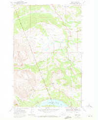
1968 Map of Kiowa
USGS Topo · Published 1971About this map
The Blackfeet Indian Reservation Boundary defines the eastern edge of Glacier National Park on this 1968 study, where the high peaks of Mad Wolf Mountain and Basin Mountain give way to the lower hills and plateaus of the plains. The small settlement of Kiowa sits at a strategic junction of the modern road network, shadowed by Looking Glass Hill and Two Medicine Ridge. For local historians, the Schildt Cem and scattered Gravel Pit operations provide evidence of early family settlement and infrastructure development along the South Fork Cut Bank Creek. To the south, the Park Entrance leads toward Lower Two Medicine Lake, a landscape crisscrossed by the Pitamakan Pass Trail and the Dry Fork Trail, reflecting the transition from reservation lands to protected wilderness.
Find a feature on this map
25 named features on this map. Tap any name to fly to it.
Don’t see what you’re looking for? This feature index may not catch every label — zoom into the map to look around manually.
Map Details
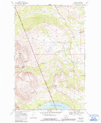
Editions of this 1968 Kiowa Map
2 editions found
Other maps of this area

1901 · Browning
USGS Topo · 1:125,000

1903 · Browning
USGS Topo · 1:125,000

1913 · Marias Pass
USGS Topo · 1:125,000

1960 · Cut Bank
USGS Topo · 1:250,000

1963 · Cut Bank
USGS Topo · 1:250,000

1964 · Cut Bank
USGS Topo · 1:250,000

1968 · Saint Mary
USGS Topo · 1:24,000

1968 · Josephine
USGS Topo · 1:24,000
1968 · Cut Bank Pass
USGS Topo · 1:24,000
1968 · Mount Rockwell
USGS Topo · 1:24,000