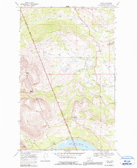
1968 Map of Kiowa
USGS Topo · Published 1991About this map
Glacier National Park and the Blackfeet Indian Reservation Boundary meet in this 1968 topographic survey, delineating a landscape of high ridges and glacial water systems. The small settlement of Kiowa serves as a focal point near the intersection of the South Fork Cut Bank Creek and Medicine Creek. The map documents the physical transition from the eastern plains toward the high peaks, marked by landmarks such as Mad Wolf Mountain and the prominent Two Medicine Ridge.
Find a feature on this map
24 named features on this map. Tap any name to fly to it.
Don’t see what you’re looking for? This feature index may not catch every label — zoom into the map to look around manually.
Map Details
Editions of this 1968 Kiowa Map
2 editions found
Other maps of this area

1901 · Browning
USGS Topo · 1:125,000

1903 · Browning
USGS Topo · 1:125,000

1913 · Marias Pass
USGS Topo · 1:125,000

1960 · Cut Bank
USGS Topo · 1:250,000

1963 · Cut Bank
USGS Topo · 1:250,000

1964 · Cut Bank
USGS Topo · 1:250,000

1968 · Saint Mary
USGS Topo · 1:24,000

1968 · Josephine
USGS Topo · 1:24,000
1968 · Cut Bank Pass
USGS Topo · 1:24,000
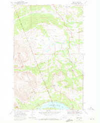
1968 · Kiowa
USGS Topo · 1:24,000