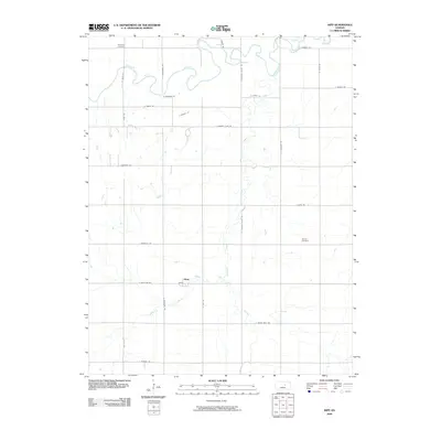
2009 Map of Kipp
USGS Topo · Published 2009About this map
The Smoky Hill River meanders across the northern portion of this Saline County landscape, defining the topography of this agricultural region. The small settlement of Kipp serves as a central point, situated near the confluence where Gypsum Creek meets its West Branch. This 2009 survey reveals a highly organized grid of rural roads, including S Kipp Rd and E Schilling Rd, which segment the plains into expansive farming tracts. For those researching local heritage, the map identifies key community landmarks such as Poheta Cemetery and Donmyer Cemetery, both preserved within the rural landscape. The drainage patterns of the creek systems provide a sharp contrast to the straight lines of the transportation network, illustrating the intersection of natural hydrology and human land management in the Kansas interior.
Find a feature on this map
30 named features on this map. Tap any name to fly to it.
Don’t see what you’re looking for? This feature index may not catch every label — zoom into the map to look around manually.
Map Details
Editions of this 2009 Kipp Map
This is the sole edition of this map. No revisions or reprints were ever made.
Other maps of this area

1889 · Abilene
USGS Topo · 1:125,000

1892 · Salina
USGS Topo · 1:125,000

1894 · Abilene
USGS Topo · 1:125,000

1942 · Salina
USGS Topo · 1:125,000

1955 · Salina
USGS Topo · 1:24,000

1955 · Assaria
USGS Topo · 1:24,000

1955 · Niles
USGS Topo · 1:24,000

1955 · New Cambria
USGS Topo · 1:24,000

1955 · Kipp
USGS Topo · 1:24,000

1955 · Gypsum
USGS Topo · 1:24,000