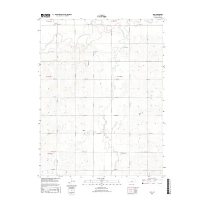
2015 Map of Kipp
USGS Topo · Published 2015About this map
Kipp sits at the intersection of a vast agricultural grid and the winding natural drainage of W Br Gypsum Cr, showcasing the deliberate township and range layout of central Kansas. This 2015 survey reveals a landscape where road networks like E Schilling Rd and S Kipp Rd strictly follow section lines, occasionally yielding only to the meandering path of the Smoky Hill River in the north.
Find a feature on this map
38 named features on this map. Tap any name to fly to it.
Don’t see what you’re looking for? This feature index may not catch every label — zoom into the map to look around manually.
Map Details
Editions of this 2015 Kipp Map
This is the sole edition of this map. No revisions or reprints were ever made.
Other maps of this area

1889 · Abilene
USGS Topo · 1:125,000

1892 · Salina
USGS Topo · 1:125,000

1894 · Abilene
USGS Topo · 1:125,000

1942 · Salina
USGS Topo · 1:125,000

1955 · Salina
USGS Topo · 1:24,000

1955 · Assaria
USGS Topo · 1:24,000

1955 · Niles
USGS Topo · 1:24,000

1955 · New Cambria
USGS Topo · 1:24,000

1955 · Kipp
USGS Topo · 1:24,000

1955 · Gypsum
USGS Topo · 1:24,000