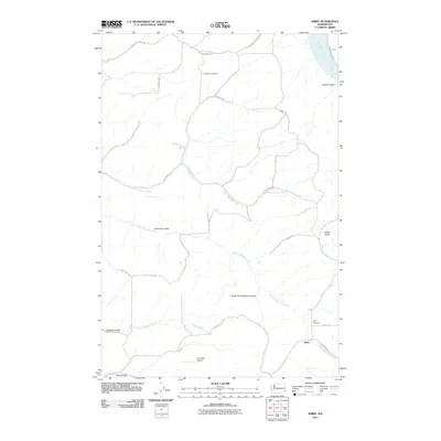
2011 Map of Kirby
USGS Topo · Published 2011About this map
The settlement of Kirby and the surrounding agricultural uplands of Garfield County are defined by a complex network of deep drainage systems flowing toward the Snake River. This 2011 survey documents the rural character of the region, where family-named landmarks like Kluge Canyon and Heaton Gulch break the high plateau. The map details a landscape managed for dryland farming and transit, anchored by the Dye Seed Airport and a grid of secondary roads such as Bell Plain Rd and Connell Hill Rd.
Find a feature on this map
34 named features on this map. Tap any name to fly to it.
Don’t see what you’re looking for? This feature index may not catch every label — zoom into the map to look around manually.
Map Details
Editions of this 2011 Kirby Map
This is the sole edition of this map. No revisions or reprints were ever made.
Other maps of this area

1910 · Pullman
USGS Topo · 1:125,000

1937 · Pomeroy
USGS Topo · 1:96,000

1942 · Pomeroy
USGS Topo · 1:125,000

1943 · Peola
USGS Topo · 1:62,500

1946 · Peola
USGS Topo · 1:62,500

1950 · Penawawa
USGS Topo · 1:62,500

1955 · Pullman
USGS Topo · 1:250,000

1958 · Pullman
USGS Topo · 1:250,000

1964 · Kirby
USGS Topo · 1:24,000

1964 · Ewartsville
USGS Topo · 1:24,000