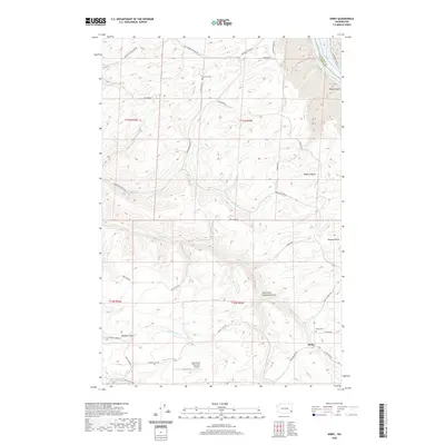
2020 Map of Kirby
USGS Topo · Published 2020About this map
Kirby serves as the focal point for this landscape in Garfield County, where the high plateau of eastern Washington is deeply dissected by drainage systems feeding the Snake River. The map reveals a rural economy centered on agriculture and ranching, evidenced by the Dye Seed Ranch Inc Airport and a network of roads like Wawawai Grade Rd and Tramway Rd that navigate the complex topography of Kluge Canyon and Heaton Gulch. For those researching local lineages, the Mayview Cem and Kirby Cem provide essential geographic anchors for families settled in this part of the Palouse. The terrain is defined by dramatic elevation changes, with numerous seasonal and perennial watercourses such as S Deadman Cr and N Meadow Cr cutting through the hills, illustrating the difficult route planning required for the region's historical transport lines.
Find a feature on this map
37 named features on this map. Tap any name to fly to it.
Don’t see what you’re looking for? This feature index may not catch every label — zoom into the map to look around manually.
Map Details
Editions of this 2020 Kirby Map
This is the sole edition of this map. No revisions or reprints were ever made.
Other maps of this area

1910 · Pullman
USGS Topo · 1:125,000

1937 · Pomeroy
USGS Topo · 1:96,000

1942 · Pomeroy
USGS Topo · 1:125,000

1943 · Peola
USGS Topo · 1:62,500

1946 · Peola
USGS Topo · 1:62,500

1950 · Penawawa
USGS Topo · 1:62,500

1955 · Pullman
USGS Topo · 1:250,000

1958 · Pullman
USGS Topo · 1:250,000

1964 · Kirby
USGS Topo · 1:24,000

1964 · Ewartsville
USGS Topo · 1:24,000