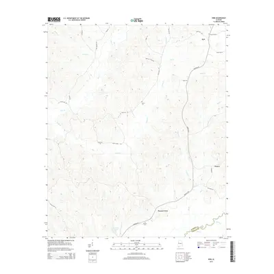
2014 Map of Kirk
USGS Topo · Published 2014About this map
Kirk and the surrounding woodlands of northern Pickens County are defined by a complex drainage system where Sneads Cr and Box Cr carve through the landscape. The settlement patterns follow ridge-top routes like Benevola Rd and Speeds Mill Rd, connecting small communities such as Pioneer and Pleasant Grove. For those tracing local history, the map identifies several significant rural landmarks, including Liberty Cem and Union Cem, which serve as vital reference points for the area's genealogical record. The southern portion of the quadrangle reaches the Pickens and Greene County line, marked by the waters of Taylor Cr. The presence of names like Kenny Hill School Rd and Doctor Kirk Rd suggests a landscape deeply rooted in family landholdings and early local institutions.
Find a feature on this map
31 named features on this map. Tap any name to fly to it.
Don’t see what you’re looking for? This feature index may not catch every label — zoom into the map to look around manually.
Map Details
Editions of this 2014 Kirk Map
This is the sole edition of this map. No revisions or reprints were ever made.
Other maps of this area

1953 · Birmingham
USGS Topo · 1:250,000

1953 · West Point
USGS Topo · 1:250,000

1956 · Birmingham
USGS Topo · 1:250,000

1957 · Birmingham
USGS Topo · 1:250,000

1958 · West Point
USGS Topo · 1:250,000

1963 · West Point
USGS Topo · 1:250,000

1967 · Carrollton
USGS Topo · 1:24,000

1967 · Gordo
USGS Topo · 1:24,000

1967 · Elrod
USGS Topo · 1:24,000
1970 · Kirk
USGS Topo · 1:24,000