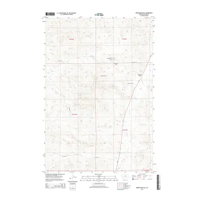
2014 Map of Kirkpatrick Hill
USGS Topo · Published 2014About this map
Kirkpatrick Hill rises above a complex drainage system in this high plains region of Custer County. The landscape is defined by its deep coulees and seasonal waterways, most notably Pumpkin Cr which runs north-south through the eastern half of the quadrangle. Several family-named features like Criswell Coulee and Kirkpatrick Draw suggest the historical ranching footprint of the area. A network of rural corridors, including Ash Creek Rd and Basin Creek Rd, provide access through the township and range divisions. The hydrology here is remarkably dense, featuring curiously named streams such as Nine Hundred and Sixty Nine Cr, alongside Betz Cr, Cottonwood Cr, and Broughton Cr. This 2014 survey documents the enduring physical character of the Montana prairie before modern developments might further alter these remote drainages.
Find a feature on this map
21 named features on this map. Tap any name to fly to it.
Don’t see what you’re looking for? This feature index may not catch every label — zoom into the map to look around manually.
Map Details
Editions of this 2014 Kirkpatrick Hill Map
This is the sole edition of this map. No revisions or reprints were ever made.
Other maps of this area

1953 · Miles City
USGS Topo · 1:250,000

1954 · Ekalaka
USGS Topo · 1:250,000

1956 · Ekalaka
USGS Topo · 1:250,000

1957 · Miles City
USGS Topo · 1:250,000

1958 · Miles City
USGS Topo · 1:250,000

1958 · Ekalaka
USGS Topo · 1:250,000

1965 · Ekalaka
USGS Topo · 1:250,000

1969 · Beebe SW
USGS Topo · 1:24,000
1969 · Beebe
USGS Topo · 1:24,000
1969 · Jack Creek
USGS Topo · 1:24,000