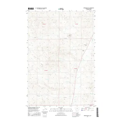
2017 Map of Kirkpatrick Hill
USGS Topo · Published 2017About this map
Kirkpatrick Hill rises as the central landmark in this portion of Custer County, overlooking a network of drainage systems that define the local topography. This 2017 survey illustrates the complex watershed of southeastern Montana, where Pumpkin Cr flows northward, joined by tributaries such as Nine-Hundred and Sixty-Nine Cr and Road Cr. The landscape is primarily organized by the Public Land Survey System, with township boundaries for t2n r49e and surrounding sections providing a geometric framework over the natural coulees and draws.
Find a feature on this map
19 named features on this map. Tap any name to fly to it.
Don’t see what you’re looking for? This feature index may not catch every label — zoom into the map to look around manually.
Map Details
Editions of this 2017 Kirkpatrick Hill Map
This is the sole edition of this map. No revisions or reprints were ever made.
Other maps of this area

1953 · Miles City
USGS Topo · 1:250,000

1954 · Ekalaka
USGS Topo · 1:250,000

1956 · Ekalaka
USGS Topo · 1:250,000

1957 · Miles City
USGS Topo · 1:250,000

1958 · Miles City
USGS Topo · 1:250,000

1958 · Ekalaka
USGS Topo · 1:250,000

1965 · Ekalaka
USGS Topo · 1:250,000

1969 · Beebe SW
USGS Topo · 1:24,000
1969 · Beebe
USGS Topo · 1:24,000
1969 · Jack Creek
USGS Topo · 1:24,000