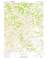
1952 Map of Kirksville
USGS Topo · Published 1979About this map
Poosey Ridge and its complex network of feeder branches dominate this landscape along the border of Madison and Garrard counties. In the early 1950s, the rural community of Kirksville served as a local hub, anchored by the Kirksville Sch and several country churches like Beech Grove Ch and Freedom Ch. The geography is defined by the winding course of Paint Lick Creek and Silver Creek, which carved deep valleys that dictated the placement of early settlements and roads.
Find a feature on this map
50 named features on this map. Tap any name to fly to it.
Don’t see what you’re looking for? This feature index may not catch every label — zoom into the map to look around manually.
Map Details
Editions of this 1952 Kirksville Map
3 editions found
Other maps of this area

1892 · Richmond
USGS Topo · 1:125,000

1897 · Richmond
USGS Topo · 1:125,000

1905 · Harrodsburg
USGS Topo · 1:125,000

1952 · Berea
USGS Topo · 1:24,000

1952 · Valley View
USGS Topo · 1:24,000

1952 · Little Hickman
USGS Topo · 1:24,000

1952 · Buckeye
USGS Topo · 1:24,000

1952 · Paint Lick
USGS Topo · 1:24,000

1952 · Lancaster
USGS Topo · 1:24,000

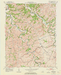
1952 · Kirksville
USGS Topo · 1:24,000