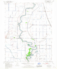
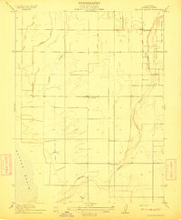
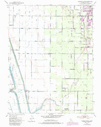
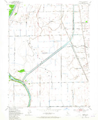
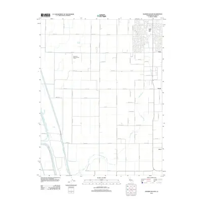
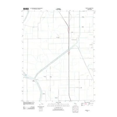
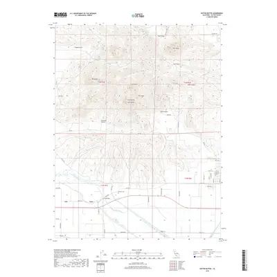
1952 Map of Kirkville
USGS Topo · Published 1966About this map
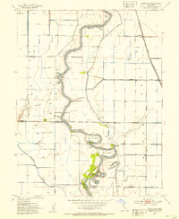
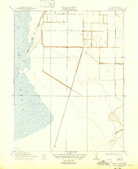
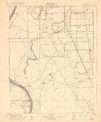
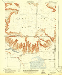
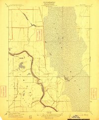
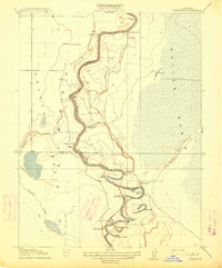
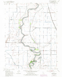
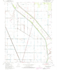
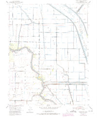
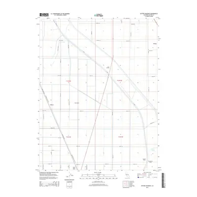
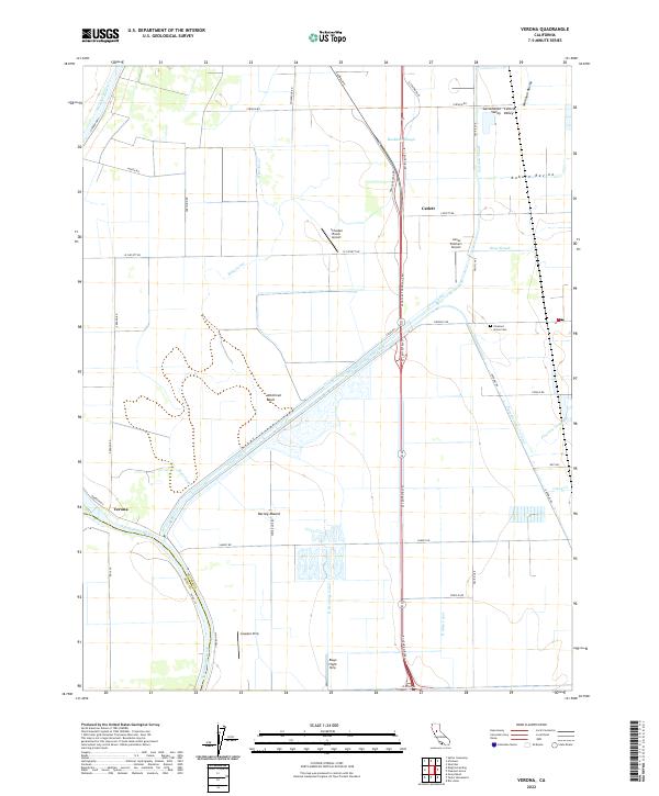
The Sacramento River meanders through this agricultural corridor, defining the boundary between Sutter, Colusa, and Yolo counties. The landscape is characterized by a high concentration of historical river access points, including Millers Landing, Boyers Landing, and Poffenbergers Landing, which once served as vital links for the local farm-to-market economy. Levees and canals like the West Side Canal dominate the terrain, reflecting the intensive water management required for the surrounding fields.
Find a feature on this map
39 named features on this map. Tap any name to fly to it.
Don’t see what you’re looking for? This feature index may not catch every label — zoom into the map to look around manually.
Map Details
Editions of this 1952 Kirkville Map
3 editions found
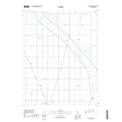
Historical Maps of Tyndall Landing Through Time
38 maps found
1910 Marcuse
Sutter County, CA
1910 Vernon
Sutter County, CA
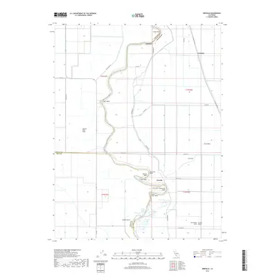
1911 Gilsizer Slough
Sutter County, CA
1912 Marysville Buttes
Sutter County, CA
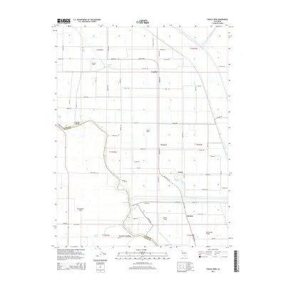
1912 Tisdale Weir
Sutter County, CA
1915 Kirkville
Sutter County, CA
1952 Gilsizer Slough
Sutter County, CA
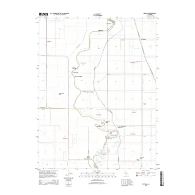
1952 Kirkville
Sutter County, CA
1952 Sutter Causeway
Sutter County, CA
1952 Tisdale Weir
Sutter County, CA
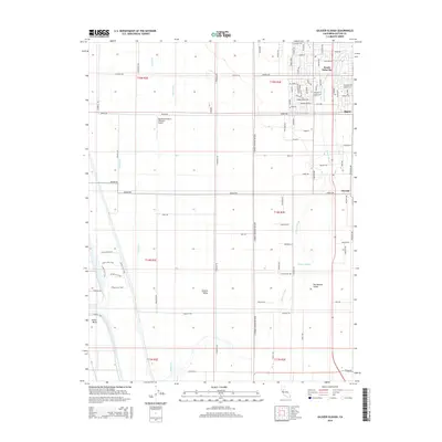
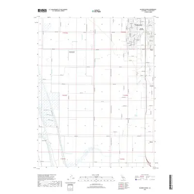
1952 Verona
Sutter County, CA
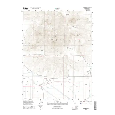
1954 Sutter Buttes
Sutter County, CA
1954 Sutter Buttes
Sutter County, CA
1967 Verona
Sutter County, CA
2012 Gilsizer Slough
Sutter County, CA

2012 Kirkville
Sutter County, CA
2012 Sutter Buttes
Sutter County, CA
2012 Sutter Causeway
Sutter County, CA
2012 Tisdale Weir
Sutter County, CA
2012 Verona
Sutter County, CA
2015 Gilsizer Slough
Sutter County, CA
2015 Kirkville
Sutter County, CA
2015 Sutter Buttes
Sutter County, CA
2015 Sutter Causeway
Sutter County, CA
2015 Tisdale Weir
Sutter County, CA

2015 Verona
Sutter County, CA
2018 Gilsizer Slough
Sutter County, CA
2018 Kirkville
Sutter County, CA
2018 Sutter Buttes
Sutter County, CA
2018 Sutter Causeway
Sutter County, CA
2018 Tisdale Weir
Sutter County, CA
2018 Verona
Sutter County, CA

2021 Sutter Buttes
Sutter County, CA
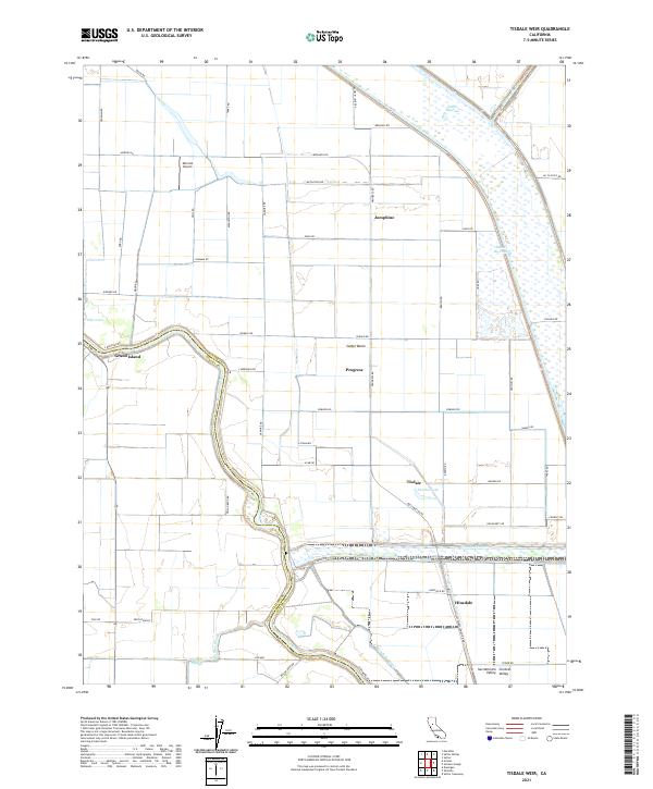
2021 Tisdale Weir
Sutter County, CA
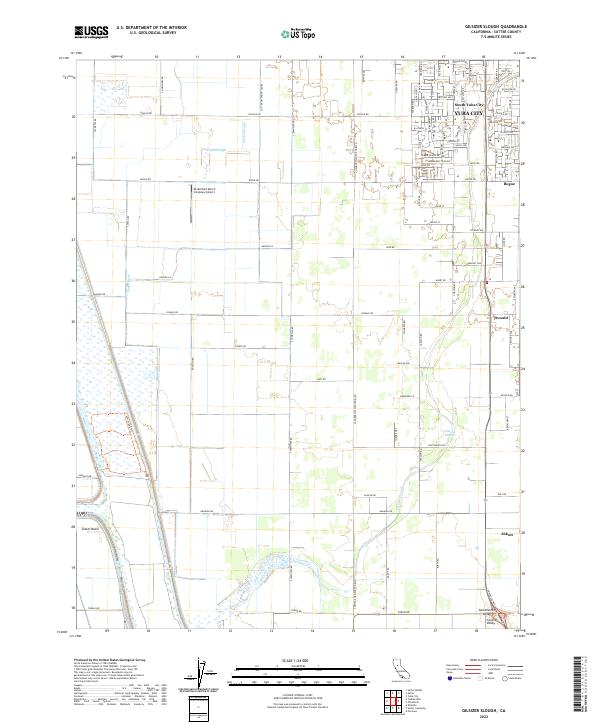
2022 Gilsizer Slough
Sutter County, CA
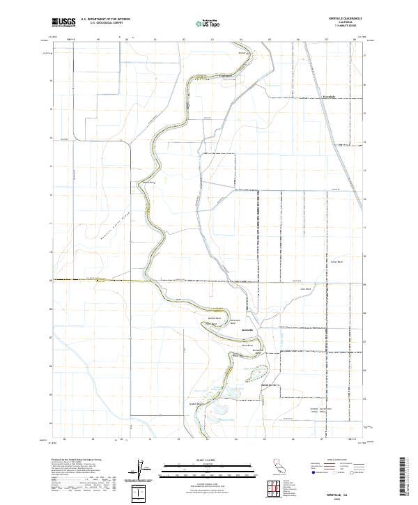
2022 Kirkville
Sutter County, CA
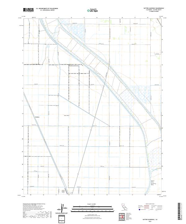
2022 Sutter Causeway
Sutter County, CA
2022 Verona
Sutter County, CA