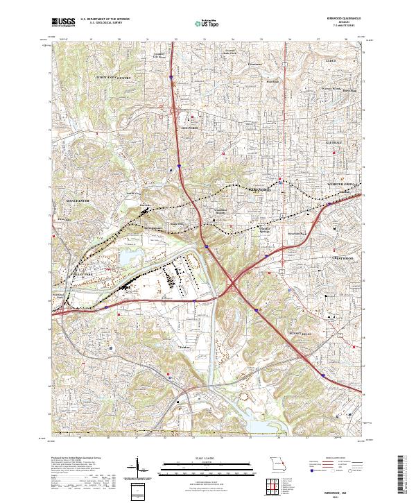
2021 Map of Kirkwood
USGS Topo · Published 2021About this map
The Meramec River winds along the southwestern corner of this suburban landscape, marking the boundary between St. Louis County and Jefferson County. This contemporary study illustrates the dense network of residential communities and major corridors, including Manchester Rd and Gravois Rd, that define the region south of Ladue and Frontenac. The map highlights a series of small, distinct incorporated areas such as Country Life Acres and Huntleigh, which maintain their identity alongside larger municipalities like Kirkwood and Webster Groves. Numerous educational and memorial sites are indexed, from Saint Louis Community College Meramec to local burial grounds including Oak Hill Cem and Saint Pauls Cem. The geography is shaped by watercourses like Grand Glaize Creek and Gravois Cr, which thread through established neighborhoods and commercial districts.
Find a feature on this map
62 named features on this map. Tap any name to fly to it.
Don’t see what you’re looking for? This feature index may not catch every label — zoom into the map to look around manually.
Map Details
Editions of this 2021 Kirkwood Map
This is the sole edition of this map. No revisions or reprints were ever made.
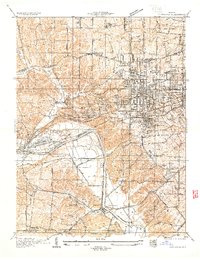
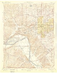
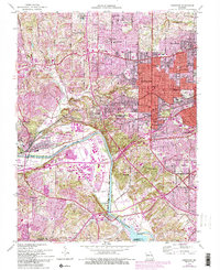
Historical Maps of Valley Park Through Time
4 maps found