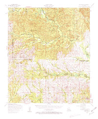
1954 Map of Kisatchie
USGS Topo · Published 1963About this map
The Kisatchie National Forest dominates this mid-century landscape, where the dense timberlands of Natchitoches and Vernon Parishes meet the expanding military footprint of the Fort Polk Military Reservation. The map captures a transition in land use as the northern reaches of the Artillery Range and Peason Ridge overlap with older rural settlements. The drainage patterns of the Calcasieu River and Kisatchie Bayou define the topography, supporting isolated communities like Kurthwood, Simpson, and Kisatchie.
Find a feature on this map
26 named features on this map. Tap any name to fly to it.
Don’t see what you’re looking for? This feature index may not catch every label — zoom into the map to look around manually.
Map Details
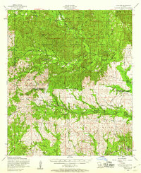
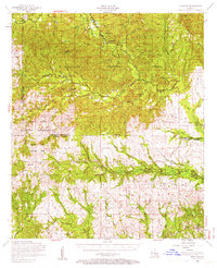
Editions of this 1954 Kisatchie Map
3 editions found
Other maps of this area

1937 · Chopin SW
USGS Topo · 1:31,680

1937 · Chopin NW
USGS Topo · 1:31,680

1937 · Bellwood
USGS Topo · 1:31,680

1937 · Montgomery
USGS Topo · 1:62,500

1937 · Cloutierville
USGS Topo · 1:31,680

1937 · Cypress
USGS Topo · 1:31,680

1941 · Leesville
USGS Topo · 1:62,500

1941 · Slagle
USGS Topo · 1:62,500

1942 · Many
USGS Topo · 1:62,500

1942 · Florien
USGS Topo · 1:62,500