Loading...
Loading map...1953 Map of Kissimmee
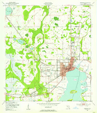
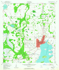
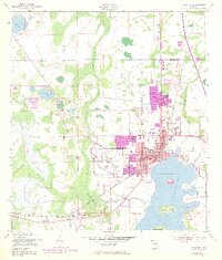
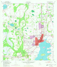
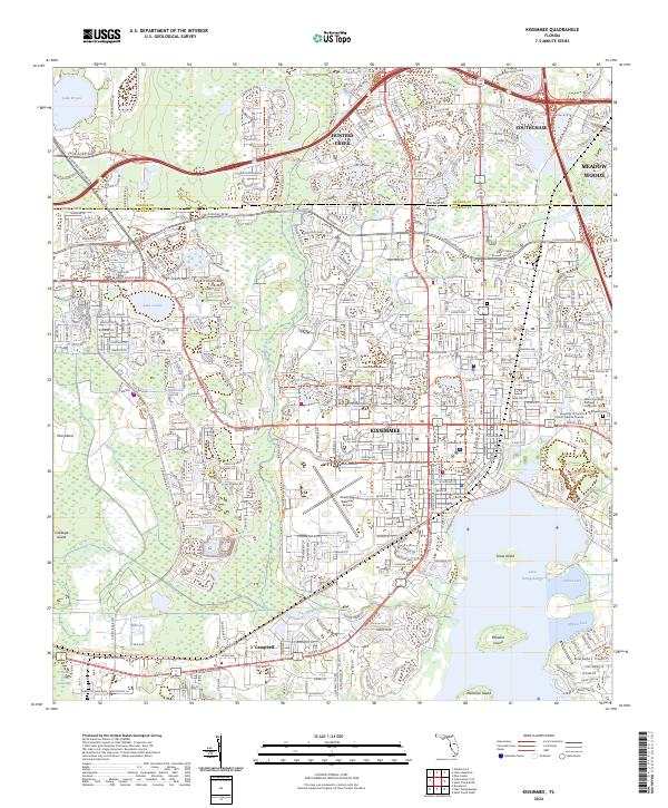
USGS Topo · Published 1955About this map
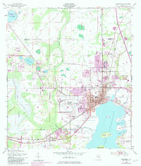
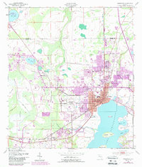
Kissimmee serves as the focal point of this mid-century survey, situated at the northwestern tip of Lake Tohopekaliga. The town's grid is well-defined by central arteries like Main St and Broadway, with municipal infrastructure including the Courthouse, Kissimmee Hospital, and a prominent Water Tank. To the west, the Kissimmee Airport and a Drive-in Theater signify the era's post-war suburban and commercial expansion.
Find a feature on this map
36 named features on this map. Tap any name to fly to it.
Don’t see what you’re looking for? This feature index may not catch every label — zoom into the map to look around manually.
Map Details
Date Portrayed1953
Date Published1955
PublisherU.S. Geological Survey
Map TypeTopographic
Scale1:24000
Physical Dimensions22.9 x 26.9 inches
Editions of this 1953 Kissimmee Map
6 editions found
Historical Maps of Oak Run Through Time
3 maps found
Featured Locations
Source Details
SourceU.S. Geological Survey
CopyrightPublic Domain