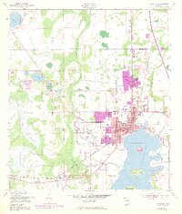
1953 Map of Kissimmee
USGS Topo · Published 1971About this map
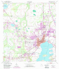
Lake Tohopekaliga anchors this 1950s landscape, providing a clear view of the city of Kissimmee before the massive theme park developments changed the region forever. The map details a period of transition, showing the traditional downtown street grid centered around the Courthouse and City Hall alongside the emerging footprint of the Kissimmee Airport and the Seaboard Coast Line railroad. Purple revisions from 1970 indicate significant urban expansion northward, documenting the arrival of Florida's Turnpike and new residential developments near Lake Cecile. Local history is preserved through the locations of the Macedonia Ch and Rosehill Cem, while the natural topography is defined by the extensive Reedy Creek Swamp and various islands like Paradise Island and Makinson Island. This survey captures the intersection of traditional Florida cattle country and the burgeoning infrastructure of the modern era.
Find a feature on this map
39 named features on this map. Tap any name to fly to it.
Don’t see what you’re looking for? This feature index may not catch every label — zoom into the map to look around manually.
Map Details
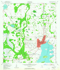
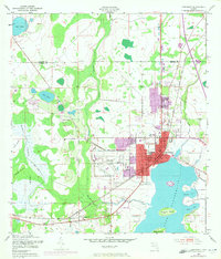
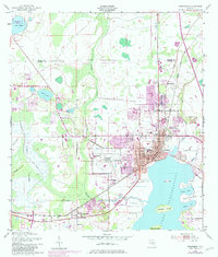
Editions of this 1953 Kissimmee Map
6 editions found
Other maps of this area

1953 · Lake Jessamine
USGS Topo · 1:24,000

1953 · St Cloud North
USGS Topo · 1:24,000

1953 · St Cloud South
USGS Topo · 1:24,000

1953 · Lake Tohopekaliga
USGS Topo · 1:24,000

1953 · Pine Castle
USGS Topo · 1:24,000

1953 · Kissimmee
USGS Topo · 1:24,000

1953 · Windermere
USGS Topo · 1:24,000

1953 · Intercession City
USGS Topo · 1:24,000

1953 · Davenport
USGS Topo · 1:24,000

1955 · Orlando
USGS Topo · 1:250,000