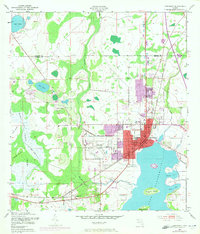
1953 Map of Kissimmee
USGS Topo · Published 1972About this map
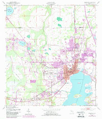
Kissimmee anchors this Florida landscape on the northern shores of Lake Tohopekaliga, a region defined by its transition from agricultural wetlands to mid-century urban development. The presence of the Kissimmee Airport and a nearby Drive-in Theater reflects the post-war expansion of the area, while civic life remains centered around the Courthouse and City Hall. Educational and social hubs such as Bryan Sch and Osceola High Sch are clearly visible alongside local landmarks like Kissimmee Hospital.
Find a feature on this map
35 named features on this map. Tap any name to fly to it.
Don’t see what you’re looking for? This feature index may not catch every label — zoom into the map to look around manually.
Map Details
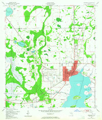
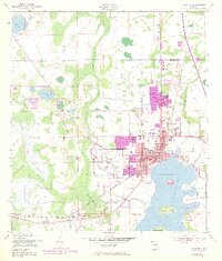
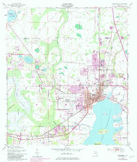
Editions of this 1953 Kissimmee Map
6 editions found
Other maps of this area

1953 · Lake Jessamine
USGS Topo · 1:24,000

1953 · St Cloud North
USGS Topo · 1:24,000

1953 · St Cloud South
USGS Topo · 1:24,000

1953 · Lake Tohopekaliga
USGS Topo · 1:24,000

1953 · Pine Castle
USGS Topo · 1:24,000

1953 · Kissimmee
USGS Topo · 1:24,000

1953 · Windermere
USGS Topo · 1:24,000

1953 · Intercession City
USGS Topo · 1:24,000

1953 · Davenport
USGS Topo · 1:24,000

1955 · Orlando
USGS Topo · 1:250,000