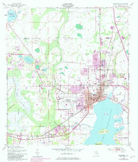
1953 Map of Kissimmee
USGS Topo · Published 1981About this map
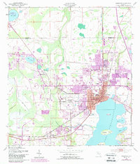
Kissimmee serves as the focal point of this mid-century survey, positioned at the northern head of Lake Tohopekaliga. The town's grid is anchored by Broadway and Main St, housing critical local institutions including the Courthouse, Osceola High Sch, and the Kissimmee Hospital. Transport and commerce are defined by the convergence of the Seaboard Coast Line and Floridas Turnpike, while the Kissimmee Municipal Airport occupies a significant footprint to the west.
Find a feature on this map
46 named features on this map. Tap any name to fly to it.
Don’t see what you’re looking for? This feature index may not catch every label — zoom into the map to look around manually.
Map Details
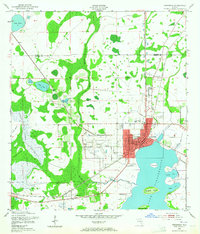
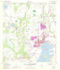
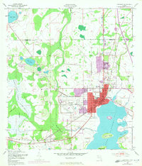
Editions of this 1953 Kissimmee Map
6 editions found
Other maps of this area

1953 · Lake Jessamine
USGS Topo · 1:24,000

1953 · St Cloud North
USGS Topo · 1:24,000

1953 · St Cloud South
USGS Topo · 1:24,000

1953 · Lake Tohopekaliga
USGS Topo · 1:24,000

1953 · Pine Castle
USGS Topo · 1:24,000

1953 · Kissimmee
USGS Topo · 1:24,000

1953 · Windermere
USGS Topo · 1:24,000

1953 · Intercession City
USGS Topo · 1:24,000

1953 · Davenport
USGS Topo · 1:24,000

1955 · Orlando
USGS Topo · 1:250,000