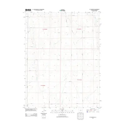
2013 Map of Kit Carson NW
USGS Topo · Published 2013About this map
Alfred Camp Spring sits in the northeast corner of this high plains landscape, a vital water source in the arid expanse of eastern Colorado. The terrain is defined by a series of intermittent drainage systems, including the southeast-flowing Big Spring Cr and the westward-moving Pass Cr. A sparse network of section-line roads, such as CO Road DD and CO Road 12, imposes a rigid grid over the undulating topography of the t012s r049w and t013s r050w townships. These corridors reflect the vast ranching and agricultural allotments typical of Cheyenne County. Further south, the meandering paths of Bellyache Cr and Wild Horse Cr illustrate the natural hydrology that once dictated the movement of early travelers and livestock through this territory.
Find a feature on this map
27 named features on this map. Tap any name to fly to it.
Don’t see what you’re looking for? This feature index may not catch every label — zoom into the map to look around manually.
Map Details
Editions of this 2013 Kit Carson NW Map
This is the sole edition of this map. No revisions or reprints were ever made.
Other maps of this area

1891 · Arroyo
USGS Topo · 1:125,000

1891 · Kit Carson
USGS Topo · 1:125,000

1893 · Arroyo
USGS Topo · 1:125,000

1893 · Kit Carson
USGS Topo · 1:125,000

1954 · Limon
USGS Topo · 1:250,000

1954 · Lamar
USGS Topo · 1:250,000

1957 · Limon
USGS Topo · 1:250,000

1958 · Limon
USGS Topo · 1:250,000

1958 · Lamar
USGS Topo · 1:250,000

1978 · Sanders Ranch
USGS Topo · 1:24,000