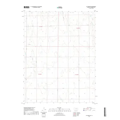
2019 Map of Kit Carson NW
USGS Topo · Published 2019About this map
Alfred Camp Spring marks a rare perennial water source in the northeast corner of this high plains landscape in Cheyenne County. The terrain is defined by the ephemeral drainage networks of Bellyache Cr, Pass Cr, and the southward-flowing Wild Horse Cr. This 2019 survey documents a vast, open cattle-country environment where the natural topography is segmented by a precise grid of county roads. The intersection of routes like Co RD CC and Co RD 14 facilitates movement across the township lines of t12s r50w and t13s r49w. The land use appears focused on ranching, as indicated by the various named springs and creek beds that would be critical landmarks for local landholders and agricultural operations.
Find a feature on this map
23 named features on this map. Tap any name to fly to it.
Don’t see what you’re looking for? This feature index may not catch every label — zoom into the map to look around manually.
Map Details
Editions of this 2019 Kit Carson NW Map
This is the sole edition of this map. No revisions or reprints were ever made.
Other maps of this area

1891 · Arroyo
USGS Topo · 1:125,000

1891 · Kit Carson
USGS Topo · 1:125,000

1893 · Arroyo
USGS Topo · 1:125,000

1893 · Kit Carson
USGS Topo · 1:125,000

1954 · Limon
USGS Topo · 1:250,000

1954 · Lamar
USGS Topo · 1:250,000

1957 · Limon
USGS Topo · 1:250,000

1958 · Limon
USGS Topo · 1:250,000

1958 · Lamar
USGS Topo · 1:250,000

1978 · Sanders Ranch
USGS Topo · 1:24,000