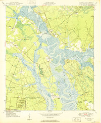
1950 Map of Kittredge
USGS Topo · Published 1950About this map
The tidal reaches of the West Branch Cooper River and East Branch Cooper River converge at The Tee, defining a landscape of low-lying wetlands and historic riverfront settlements in Berkeley County. This 1950 survey highlights the prominence of the river-based economy and social structure, centered around landings like Strawberry Landing and Cote Bas Landing. The presence of the historic Strawberry Chapel and the nearby Strawberry Ferry Road underscores the long-standing transport network that pre-dates modern infrastructure.
Find a feature on this map
56 named features on this map. Tap any name to fly to it.
Don’t see what you’re looking for? This feature index may not catch every label — zoom into the map to look around manually.
Map Details
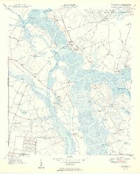
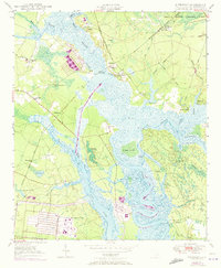
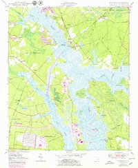
Editions of this 1950 Kittredge Map
4 editions found
Other maps of this area

1919 · Ladson
USGS Topo · 1:21,120

1919 · Summerville
USGS Topo · 1:48,000

1919 · Wando
USGS Topo · 1:21,120

1919 · Cordesville
USGS Topo · 1:48,000

1919 · Melgrove
USGS Topo · 1:21,120

1920 · Ravenels
USGS Topo · 1:62,500

1920 · Summerville
USGS Topo · 1:62,500

1940 · Melgrove
USGS Topo · 1:24,000

1943 · Wando
USGS Topo · 1:24,000

1943 · Ladson
USGS Topo · 1:24,000