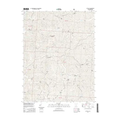
2016 Map of Kitts Hill
USGS Topo · Published 2016About this map
Wayne National Forest dominates the northern reaches of this Lawrence County landscape, where the ridges and hollows of the Appalachian Plateau are marked by a high density of small family and community cemeteries. The settlement of Kitts Hill sits at a central junction, while the surrounding hills are carved by drainages like Ice Cr and Little Storms Cr. The map reveals a deeply localized social geography, with numerous small burial grounds such as Hackworth Cem, Mays Cem, and Currington Cem scattered across the ridgelines. To the northwest, the recreation-focused terrain around Lake Vesuvius features the Ir Horse Vesuvius Main Loop, reflecting the area's transition into a managed forest. Significant local transport routes, including the Deering Bald Knob Rd, connect the dispersed hamlets of Rock Camp, Andis, and Deering.
Find a feature on this map
116 named features on this map. Tap any name to fly to it.
Don’t see what you’re looking for? This feature index may not catch every label — zoom into the map to look around manually.
Map Details
Editions of this 2016 Kitts Hill Map
This is the sole edition of this map. No revisions or reprints were ever made.
Other maps of this area

1892 · Huntington
USGS Topo · 1:125,000

1898 · Huntington
USGS Topo · 1:125,000

1898 · Ironton
USGS Topo · 1:62,500

1900 · Ironton
USGS Topo · 1:62,500

1901 · Guyandot
USGS Topo · 1:62,500

1901 · Ceredo
USGS Topo · 1:62,500

1902 · Guyandot
USGS Topo · 1:62,500

1903 · Kenova
USGS Topo · 1:125,000

1904 · Kenova
USGS Topo · 1:125,000

1906 · Athalia
USGS Topo · 1:62,500