Loading...
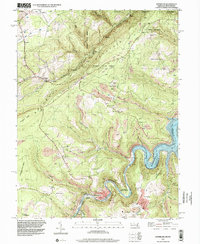
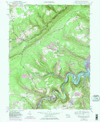
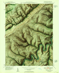
Loading map...1997 Map of Kitzmiller
USGS Topo · Published 2001About this map
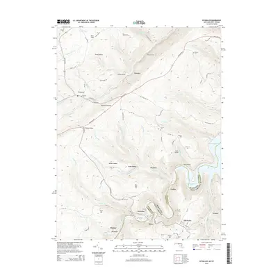
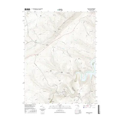
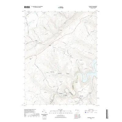
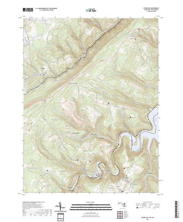
Kitzmiller and the surrounding coal-country settlements along the Potomac River define this 1997 topographic survey. The landscape is a complex intersection of industry and topography, where the B & O RR winds through the river valley, connecting towns like Blaine, Shallmar, and Chaffee. Numerous mining operations are evident across the terrain, including the Walnut Bottom Cr Strip Mine and the Hitchcock Tunnel.
Find a feature on this map
53 named features on this map. Tap any name to fly to it.
Don’t see what you’re looking for? This feature index may not catch every label — zoom into the map to look around manually.
Map Details
Date Portrayed1997
Date Published2001
PublisherU.S. Geological Survey
Map TypeTopographic
Scale1:24,000
Physical Dimensions21.9 x 26.8 inches
Editions of this 1997 Kitzmiller Map
This is the sole edition of this map. No revisions or reprints were ever made.
Historical Maps of Kitzmiller Through Time
8 maps found
Featured Locations
Source Details
SourceU.S. Geological Survey
CopyrightPublic Domain