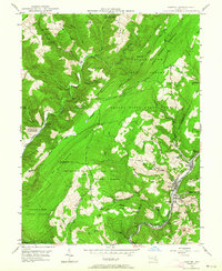
1947 Map of Barton
USGS Topo · Published 1964About this map
Big Savage Mountain dominates this landscape along the border of Garrett and Allegany Counties, where the ridge-and-valley terrain transitions into the dense woods of the Savage River State Forest. The map documents a mid-century industrial environment concentrated along Georges Creek, where coal mining and transportation infrastructure shaped local life. Evidence of this extraction is visible at Caledonia Hill and several unnamed mines and strip mines dotting the slopes above Barton.
Find a feature on this map
69 named features on this map. Tap any name to fly to it.
Don’t see what you’re looking for? This feature index may not catch every label — zoom into the map to look around manually.
Map Details
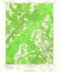
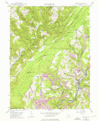
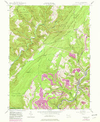
Editions of this 1947 Barton Map
4 editions found
Other maps of this area

1891 · Romney
USGS Topo · 1:125,000

1895 · Piedmont
USGS Topo · 1:125,000

1898 · Frostburg
USGS Topo · 1:62,500

1899 · Grantsville
USGS Topo · 1:62,500

1901 · Frostburg
USGS Topo · 1:62,500

1904 · Grantsville
USGS Topo · 1:62,500

1908 · Frostburg
USGS Topo · 1:62,500

1919 · Elk Garden
USGS Topo · 1:48,000

1920 · Elk Garden
USGS Topo · 1:48,000

1920 · Keyser
USGS Topo · 1:62,500