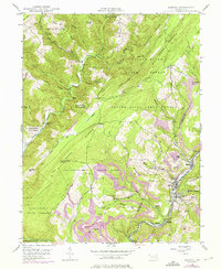
1947 Map of Barton
USGS Topo · Published 1976About this map
Savage Mountain and the deep drainage of the Savage River State Forest dominate this mid-century look at the borderlands of Garrett and Allegany counties. The settlement pattern is split between the secluded highland outposts like Merrill and Custer Hol and the industrial corridor along Georges Creek. This eastern valley serves as the primary artery for transportation and industry, following the Western Maryland railroad through a dense string of mining and residential communities including Barton, Moscow, and Nikep. Evidence of the region’s coal heritage is visible in the clusters of strip mines near Phoenix and Franklin Hill, while the higher elevations are preserved as a Game Propagation Area. Landmarks such as High Rock 2991 Lookout and Mt Zion Ch provide clear reference points for those tracing the lineage of these Appalachian ridge communities.
Find a feature on this map
62 named features on this map. Tap any name to fly to it.
Don’t see what you’re looking for? This feature index may not catch every label — zoom into the map to look around manually.
Map Details
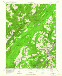
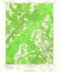
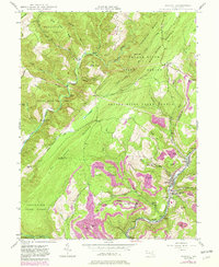
Editions of this 1947 Barton Map
4 editions found
Other maps of this area

1891 · Romney
USGS Topo · 1:125,000

1895 · Piedmont
USGS Topo · 1:125,000

1898 · Frostburg
USGS Topo · 1:62,500

1899 · Grantsville
USGS Topo · 1:62,500

1901 · Frostburg
USGS Topo · 1:62,500

1904 · Grantsville
USGS Topo · 1:62,500

1908 · Frostburg
USGS Topo · 1:62,500

1919 · Elk Garden
USGS Topo · 1:48,000

1920 · Elk Garden
USGS Topo · 1:48,000

1920 · Keyser
USGS Topo · 1:62,500