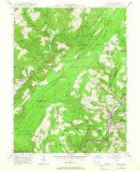
1947 Map of Barton
USGS Topo · Published 1966About this map
Barton and the industrial corridor of Georges Creek define this postwar landscape along the boundary of Garrett and Allegany counties. The map documents a period when coal mining and rail transport were central to the local economy, evidenced by several Strip Mine sites and the Pennsylvania railroad line threading through settlements like Moscow, Pekin Nikep, and Franklin. To the west, the terrain rises sharply into the protected lands of the Savage River State Forest, where the ridges of Big Savage Mountain and Elbow Mountain dominate.
Find a feature on this map
67 named features on this map. Tap any name to fly to it.
Don’t see what you’re looking for? This feature index may not catch every label — zoom into the map to look around manually.
Map Details
Editions of this 1947 Barton Map
4 editions found
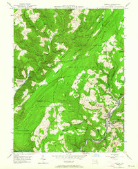
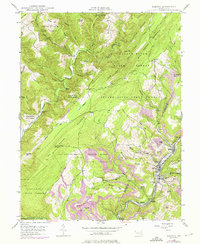
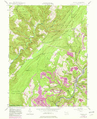
Other maps of this area

1891 · Romney
USGS Topo · 1:125,000

1895 · Piedmont
USGS Topo · 1:125,000

1898 · Frostburg
USGS Topo · 1:62,500

1899 · Grantsville
USGS Topo · 1:62,500

1901 · Frostburg
USGS Topo · 1:62,500

1904 · Grantsville
USGS Topo · 1:62,500

1908 · Frostburg
USGS Topo · 1:62,500

1919 · Elk Garden
USGS Topo · 1:48,000

1920 · Elk Garden
USGS Topo · 1:48,000

1920 · Keyser
USGS Topo · 1:62,500