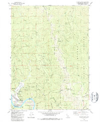
1982 Map of Klamath Glen
USGS Topo · Published 1987About this map
The Klamath River carves through a landscape of steep ridges and dense timberlands at the northern edge of the Hoopa Valley Indian Reservation in the early 1980s. The settlement at Klamath Glen serves as a local hub, featuring a Fire Sta, Pumping Sta, and various trailer parks and boat ramps that facilitate access to the river's Turwar Riffle. The northern portion of the map is dominated by the Six Rivers National Forest, where a network of four-wheel-drive tracks connects remote points like Cache Saddle and Rocky Saddle. Significant topographic landmarks, including Rattlesnake Mountain and the Red Mountain Lookout Tower, overlook the deep drainages of Goose Creek and Turwar Creek. This survey captures the region's character as a managed wilderness, balancing forestry operations at Klamath Station with seasonal sites like Marlow Campsite.
Find a feature on this map
44 named features on this map. Tap any name to fly to it.
Don’t see what you’re looking for? This feature index may not catch every label — zoom into the map to look around manually.
Map Details
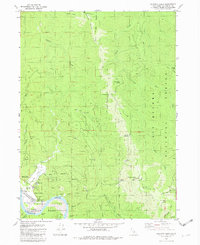
Editions of this 1982 Klamath Glen Map
2 editions found
Other maps of this area

1922 · Preston Peak
USGS Topo · 1:125,000

1925 · Hoopa
USGS Topo · 1:125,000

1929 · Crescent City
USGS Topo · 1:125,000

1945 · Ship Mountain
USGS Topo · 1:62,500

1945 · Orick
USGS Topo · 1:62,500

1945 · Requa
USGS Topo · 1:62,500

1945 · Tectah Creek
USGS Topo · 1:62,500

1948 · Weed
USGS Topo · 1:250,000

1949 · Eureka
USGS Topo · 1:250,000

1950 · Weed
USGS Topo · 1:250,000