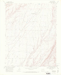
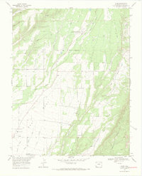
1968 Map of Kline
USGS Topo · Published 1971About this map
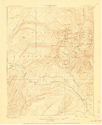
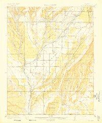
The Southern Ute Indian Reservation Boundary bisects this portion of La Plata County, marking a clear transition in land use and settlement during the late 1960s. The small communities of Kline and Breen anchor the local area, supported by the Ft Lewis Mesa Sch and the Marvel Cem to the south. The landscape is deeply carved by drainage systems including La Plata River, Long Hollow, and Fortyfour Canyon, which together define the topography of the mesa.
Find a feature on this map
23 named features on this map. Tap any name to fly to it.
Don’t see what you’re looking for? This feature index may not catch every label — zoom into the map to look around manually.
Map Details
Editions of this 1968 Kline Map
3 editions found

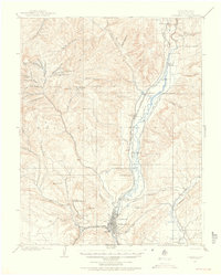
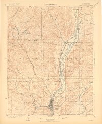
Other maps of this area

1895 · La Plata
USGS Topo · 1:62,500

1897 · La Plata
USGS Topo · 1:62,500

1898 · Durango
USGS Topo · 1:62,500

1899 · La Plata
USGS Topo · 1:62,500
1907 · Durango
USGS Topo · 1:62,500

1908 · Ignacio
USGS Topo · 1:125,000
1908 · Durango
USGS Topo · 1:62,500
1908 · La Plata
USGS Topo · 1:62,500
1913 · Red Mesa
USGS Topo · 1:62,500

1924 · Ignacio
USGS Topo · 1:125,000