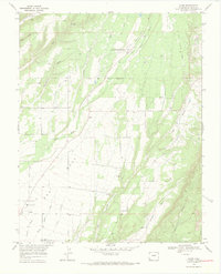
1968 Map of Kline
USGS Topo · Published 1971About this map
Red Mesa dominates the southern landscape of this 1968 survey, where the small agricultural settlements of Kline, Breen, and Marvel are interconnected by a network of rural roads and irrigation works. The Southern Ute Indian Reservation Boundary cuts across the northern third of the map, marking a distinct transition in land use near the CSU San Juan Basin Branch Agricultural Experimental Station.
Find a feature on this map
28 named features on this map. Tap any name to fly to it.
Don’t see what you’re looking for? This feature index may not catch every label — zoom into the map to look around manually.
Map Details
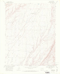
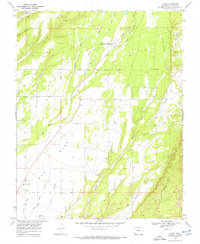
Editions of this 1968 Kline Map
3 editions found
Other maps of this area

1895 · La Plata
USGS Topo · 1:62,500

1897 · La Plata
USGS Topo · 1:62,500

1898 · Durango
USGS Topo · 1:62,500

1899 · La Plata
USGS Topo · 1:62,500

1907 · Durango
USGS Topo · 1:62,500

1908 · Ignacio
USGS Topo · 1:125,000

1908 · Durango
USGS Topo · 1:62,500

1908 · La Plata
USGS Topo · 1:62,500

1913 · Red Mesa
USGS Topo · 1:62,500

1924 · Ignacio
USGS Topo · 1:125,000