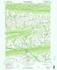
1969 Map of Klingerstown
USGS Topo · Published 1977About this map
Klingerstown serves as a central hub at the convergence of several valley townships where Northumberland Co and Schuylkill Co meet. The 1969 landscape is defined by the sharp, parallel ridges of Line Mountain, Hooflander Mountain, and Mahantango Mountain, which channel development into tight, creek-side agricultural corridors. Small rural hamlets and named crossroads like Rough and Ready, Leck Kill, and Fearnot are scattered throughout the valleys, often organized around local congregations such as St Michaels Ch and Salem Ch. The presence of several Covered Bridge crossings over Mahantango Creek and Schwaben Creek underscores the traditional infrastructure maintained in this pocket of the Pennsylvania Dutch Country during the late 1960s. North of the developed valleys, the large expanse of State Game Lands No 84 preserves the steep, forested slopes of the mountain ridges.
Find a feature on this map
41 named features on this map. Tap any name to fly to it.
Don’t see what you’re looking for? This feature index may not catch every label — zoom into the map to look around manually.
Map Details
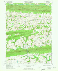
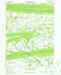
Editions of this 1969 Klingerstown Map
3 editions found
Other maps of this area

1892 · Lykens
USGS Topo · 1:62,500

1892 · Shamokin
USGS Topo · 1:62,500

1893 · Sunbury
USGS Topo · 1:62,500

1893 · Lykens
USGS Topo · 1:62,500

1893 · Shamokin
USGS Topo · 1:62,500

1893 · Millersburg
USGS Topo · 1:62,500

1943 · Millersburg
USGS Topo · 1:62,500

1943 · Lykens
USGS Topo · 1:62,500

1943 · Shamokin
USGS Topo · 1:62,500

1943 · Sunbury
USGS Topo · 1:62,500
Featured Places
- West Cameron Township, PA
- Hubley Township, PA
- Lykens Township, PA
- Little Mahanoy Township, PA
- Hebe, Jordan Township