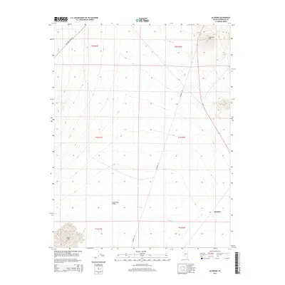
2014 Map of Klondike
USGS Topo · Published 2014About this map
Montezuma Valley dominates the central landscape of this western Nevada region, situated within the high desert terrain of Esmeralda County. The settlement of Klondike sits near the southeastern boundary, positioned along a transportation corridor that skirts the base of the prominent Hasbrouck Peak to the north. This 2014 survey illustrates a landscape defined by significant drainage patterns and arid basins, most notably the seasonal Big Wash which meanders through the valley floor and the dry expanse of Alkali Lake in the southwest corner.
Find a feature on this map
13 named features on this map. Tap any name to fly to it.
Don’t see what you’re looking for? This feature index may not catch every label — zoom into the map to look around manually.
Map Details
Editions of this 2014 Klondike Map
This is the sole edition of this map. No revisions or reprints were ever made.
Other maps of this area

1907 · Tonopah
USGS Topo · 1:250,000

1908 · Lida
USGS Topo · 1:250,000

1908 · Tonopah
USGS Topo · 1:250,000

1913 · Lida
USGS Topo · 1:250,000

1945 · Goldfield
USGS Topo · 1:125,000

1952 · Mud Lake
USGS Topo · 1:62,500

1954 · Goldfield
USGS Topo · 1:250,000

1955 · Goldfield
USGS Topo · 1:250,000

1956 · Tonopah
USGS Topo · 1:250,000

1958 · Goldfield
USGS Topo · 1:250,000