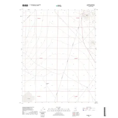
2018 Map of Klondike
USGS Topo · Published 2018About this map
Montezuma Valley dominates this high-desert landscape in Esmeralda County, providing a clear look at the arid basin-and-range topography during the late 2010s. The northern portion of the map is defined by the high ground of Hasbrouck Peak, while the southern reaches descend toward the white expanse of Alkali Lake. Infrastructure in this sparsely populated region is limited to linear paths like Paymaster Canyon Rd and Powerline Rd, which cut through the broad drainage of the Big Wash. This survey reflects the enduring character of the Nevada desert, where drainage patterns and localized peaks remain the primary markers for navigation and land management.
Find a feature on this map
12 named features on this map. Tap any name to fly to it.
Don’t see what you’re looking for? This feature index may not catch every label — zoom into the map to look around manually.
Map Details
Editions of this 2018 Klondike Map
This is the sole edition of this map. No revisions or reprints were ever made.
Other maps of this area

1907 · Tonopah
USGS Topo · 1:250,000

1908 · Lida
USGS Topo · 1:250,000

1908 · Tonopah
USGS Topo · 1:250,000

1913 · Lida
USGS Topo · 1:250,000

1945 · Goldfield
USGS Topo · 1:125,000

1952 · Mud Lake
USGS Topo · 1:62,500

1954 · Goldfield
USGS Topo · 1:250,000

1955 · Goldfield
USGS Topo · 1:250,000

1956 · Tonopah
USGS Topo · 1:250,000

1958 · Goldfield
USGS Topo · 1:250,000