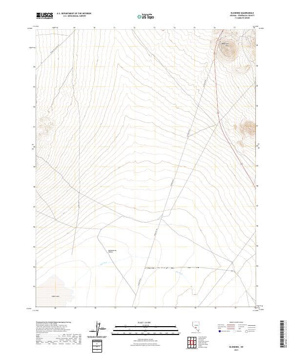
2021 Map of Klondike
USGS Topo · Published 2021About this map
Hasbrouck Peak rises over the northeastern corner of this Nevada landscape, overlooking the broad expanse of the Montezuma Valley. This high-desert terrain is defined by its drainage patterns and utilitarian infrastructure, notably Powerline Rd, which cuts a straight line through the valley floor. To the southwest, the basin transitions into the dry bed of Alkali Lake, a typical Great Basin feature where seasonal waters collect and evaporate.
Find a feature on this map
12 named features on this map. Tap any name to fly to it.
Don’t see what you’re looking for? This feature index may not catch every label — zoom into the map to look around manually.
Map Details
Editions of this 2021 Klondike Map
This is the sole edition of this map. No revisions or reprints were ever made.
Other maps of this area

1907 · Tonopah
USGS Topo · 1:250,000

1908 · Lida
USGS Topo · 1:250,000

1908 · Tonopah
USGS Topo · 1:250,000

1913 · Lida
USGS Topo · 1:250,000

1945 · Goldfield
USGS Topo · 1:125,000

1952 · Mud Lake
USGS Topo · 1:62,500

1954 · Goldfield
USGS Topo · 1:250,000

1955 · Goldfield
USGS Topo · 1:250,000

1956 · Tonopah
USGS Topo · 1:250,000

1958 · Goldfield
USGS Topo · 1:250,000