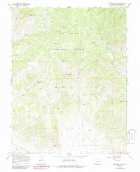
1967 Map of Klondike Mine
USGS Topo · Published 1986About this map
Rio Grande National Forest terrain dominates this Saguache County survey, where the peaks of Sheep Mountain and Bonita Hill define a landscape shaped by mining and high-altitude ranching. The namesake Klondike Mine sits at the head of Findley Gulch, surrounded by several prospects that point to the area's mineral exploration history. These isolated workings are connected by a network of drainage systems like Sawlog Gulch and Lucky Boy Gulch, which feed into the more prominent Kerber Creek. Small seasonal camps and geographic markers such as Woodard Cow Camp and Spook City indicate the transient nature of mountain settlement during this era. Water sources are critical in this environment, evidenced by numerous named points like Bachichi Spring, Garcia Spring, and Alkali Spring. A solitary pipeline and various jeep trails crossing Ute Pass provide the only modern infrastructure through these rugged canyons.
Find a feature on this map
36 named features on this map. Tap any name to fly to it.
Don’t see what you’re looking for? This feature index may not catch every label — zoom into the map to look around manually.
Map Details
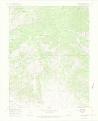
Editions of this 1967 Klondike Mine Map
3 editions found
Other maps of this area

1956 · Montrose
USGS Topo · 1:250,000

1959 · Montrose
USGS Topo · 1:250,000

1959 · Bonanza
USGS Topo · 1:62,500

1960 · Montrose
USGS Topo · 1:250,000
1967 · Laughlin Gulch
USGS Topo · 1:24,000

1967 · Lake Mountain NE
USGS Topo · 1:24,000

1967 · Chester
USGS Topo · 1:24,000
1967 · Klondike Mine
USGS Topo · 1:24,000
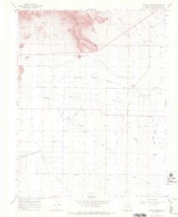
1967 · Hickey Bridge
USGS Topo · 1:24,000
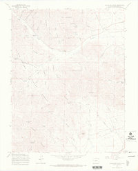
1967 · Graveyard Gulch
USGS Topo · 1:24,000