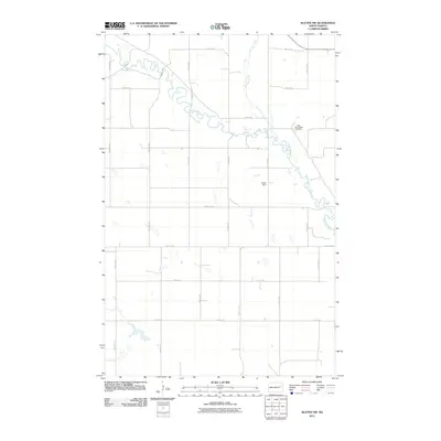
2011 Map of Kloten NW
USGS Topo · Published 2011About this map
The Sheyenne River meanders sharply across this portion of Nelson County, defining a landscape of high plains drainage and prairie agriculture. Flowing from the northwest, the river meets the McVille Coulee in a series of tight oxbows that characterize the local topography. This early 21st-century survey documents a highly organized section-line road network, including County Rd-22 and County Rd-20, which segment the terrain into precise agricultural blocks. A notable point of interest for local historians is the New Luther Valley Cemetery, situated near the river's bend in the northeastern quadrant. Water management in this semi-arid region is represented by the Galde Dam, which controls local runoff. The map's grid-like infrastructure of numbered avenues and streets illustrates the enduring legacy of the Public Land Survey System in North Dakota's rural development.
Find a feature on this map
20 named features on this map. Tap any name to fly to it.
Don’t see what you’re looking for? This feature index may not catch every label — zoom into the map to look around manually.
Map Details
Editions of this 2011 Kloten NW Map
This is the sole edition of this map. No revisions or reprints were ever made.
Other maps of this area

1930 · Pekin
USGS Topo · 1:62,500

1942 · McVille
USGS Topo · 1:62,500

1951 · Pekin
USGS Topo · 1:24,000

1951 · Pekin
USGS Topo · 1:62,500

1952 · New Rockford
USGS Topo · 1:250,000

1956 · New Rockford
USGS Topo · 1:250,000

1961 · Kloten NW
USGS Topo · 1:24,000

1961 · Binford
USGS Topo · 1:24,000

1961 · Jessie
USGS Topo · 1:24,000

1961 · Binford NE
USGS Topo · 1:24,000