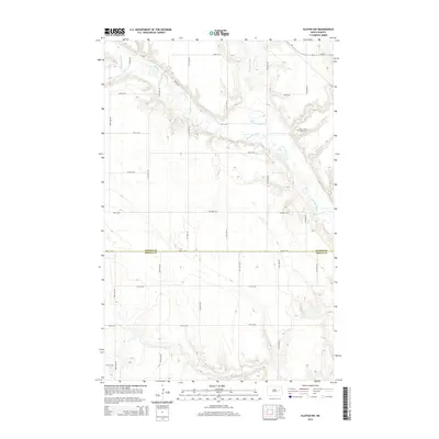
2014 Map of Kloten NW
USGS Topo · Published 2014About this map
The Sheyenne River meanders across this rural landscape, joined from the north by the drainage of McVille Coulee. This 2014 survey documents the agricultural character of the borderlands between Nelson County and Griggs County, where a strictly defined grid of section roads like 18th St NE and 21st St NE segments the plains. A significant local landmark, the New Luther Valley Cem, is situated on a rise overlooking the river valley in the northeastern portion of the quadrangle. Aside from the primary transit route of ND-15 and the winding River Rd, the area remains dominated by open terrain and small natural water features, providing a clear record of the region's topography and land use patterns.
Find a feature on this map
16 named features on this map. Tap any name to fly to it.
Don’t see what you’re looking for? This feature index may not catch every label — zoom into the map to look around manually.
Map Details
Editions of this 2014 Kloten NW Map
This is the sole edition of this map. No revisions or reprints were ever made.
Other maps of this area

1930 · Pekin
USGS Topo · 1:62,500

1942 · McVille
USGS Topo · 1:62,500

1951 · Pekin
USGS Topo · 1:24,000

1951 · Pekin
USGS Topo · 1:62,500

1952 · New Rockford
USGS Topo · 1:250,000

1956 · New Rockford
USGS Topo · 1:250,000

1961 · Kloten NW
USGS Topo · 1:24,000

1961 · Binford
USGS Topo · 1:24,000

1961 · Jessie
USGS Topo · 1:24,000

1961 · Binford NE
USGS Topo · 1:24,000