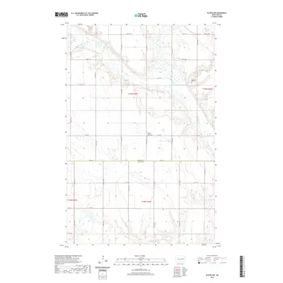
2020 Map of Kloten NW
USGS Topo · Published 2020About this map
The Sheyenne River cuts a deep, winding path through the prairie landscape of North Dakota, defining the northern half of this 2020 topographic survey. This corridor of drainage is further shaped by the McVille Coulee, which feeds into the river from the northeast. The map provides a detailed view of the rural border where Nelson Co Griggs Co meet, a region largely defined by its township-and-range section lines and a network of gravel roads such as Co RD 18 and Co RD 20. For those tracing local heritage, the landscape retains its spiritual anchors at the Norway Lutheran Church Cem and the New Luther Valley Cem, both situated near the coulee and river breaks. These sites remain as prominent landmarks within an agricultural expanse otherwise marked only by section corners and seasonal wetlands.
Find a feature on this map
20 named features on this map. Tap any name to fly to it.
Don’t see what you’re looking for? This feature index may not catch every label — zoom into the map to look around manually.
Map Details
Editions of this 2020 Kloten NW Map
This is the sole edition of this map. No revisions or reprints were ever made.
Other maps of this area

1930 · Pekin
USGS Topo · 1:62,500

1942 · McVille
USGS Topo · 1:62,500

1951 · Pekin
USGS Topo · 1:24,000

1951 · Pekin
USGS Topo · 1:62,500

1952 · New Rockford
USGS Topo · 1:250,000

1956 · New Rockford
USGS Topo · 1:250,000

1961 · Kloten NW
USGS Topo · 1:24,000

1961 · Binford
USGS Topo · 1:24,000

1961 · Jessie
USGS Topo · 1:24,000

1961 · Binford NE
USGS Topo · 1:24,000