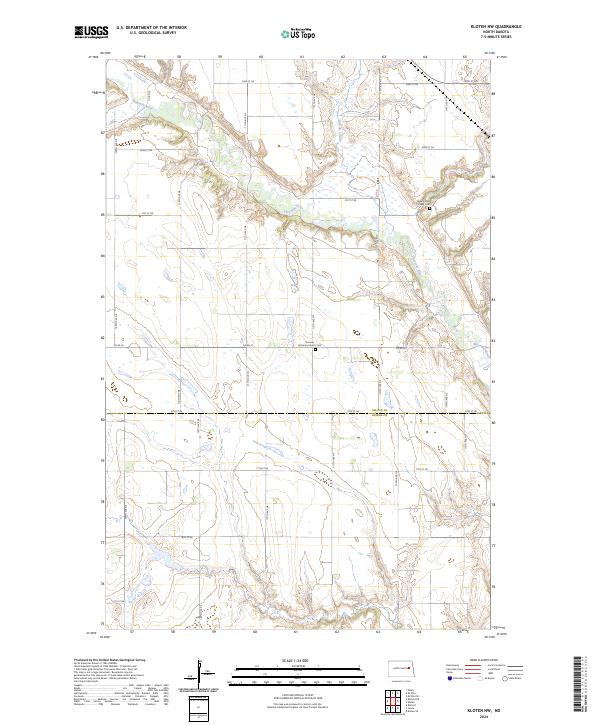
2024 Map of Kloten NW
USGS Topo · Published 2024About this map
The Sheyenne River cuts a distinctive meandering path through this portion of the northern plains, creating a sharp topographical contrast against the surrounding agricultural sections. In this rural landscape along the Nelson and Griggs County line, two local landmarks serve as significant points for genealogical research: the Norway Lutheran Church Cem and the New Luther Valley Cem. These sites, along with several coulees like McVille Coulee, define the community identity of this sparsely populated region. The map illustrates a strict section-line road grid, including Co Rd 20 and 18th St NE, which facilitates movement across the township boundaries of t149n r59w and t148n r59w.
Find a feature on this map
25 named features on this map. Tap any name to fly to it.
Don’t see what you’re looking for? This feature index may not catch every label — zoom into the map to look around manually.
Map Details
Editions of this 2024 Kloten NW Map
This is the sole edition of this map. No revisions or reprints were ever made.
Other maps of this area

1930 · Pekin
USGS Topo · 1:62,500

1942 · McVille
USGS Topo · 1:62,500

1951 · Pekin
USGS Topo · 1:24,000

1951 · Pekin
USGS Topo · 1:62,500

1952 · New Rockford
USGS Topo · 1:250,000

1956 · New Rockford
USGS Topo · 1:250,000

1961 · Kloten NW
USGS Topo · 1:24,000

1961 · Binford
USGS Topo · 1:24,000

1961 · Jessie
USGS Topo · 1:24,000

1961 · Binford NE
USGS Topo · 1:24,000