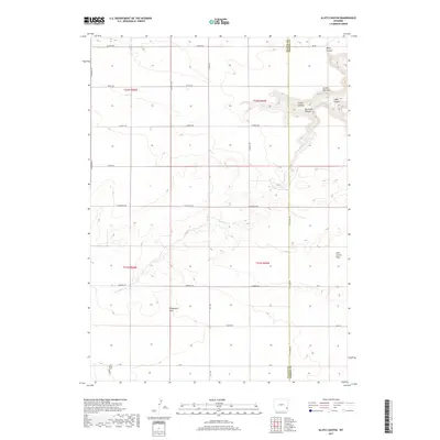
2017 Map of Klutz Canyon
USGS Topo · Published 2017About this map
Goshen Hole Rim defines the dramatic geological shift across this landscape, where the high plains break into a series of deeply etched drainages. This high-altitude ranching and agricultural country is bisected by the Platte Co Goshen Co line, showing a network of rural section-line roads such as Winberg Rd and S Moon Rd that service the isolated properties of the flats. The Iowa Flats Cem stands as a solitary genealogical landmark on the southern edge of the sheet, providing a primary point of reference for families tied to the early settlement of the Iowa Center Flats. Narrow, winding watercourses like Box Elder Cr have carved out distinct topographical features, including Klutz Canyon and Cedar Canyon, which disrupt the otherwise open expanses of the Chugwater Flats.
Find a feature on this map
32 named features on this map. Tap any name to fly to it.
Don’t see what you’re looking for? This feature index may not catch every label — zoom into the map to look around manually.
Map Details
Editions of this 2017 Klutz Canyon Map
This is the sole edition of this map. No revisions or reprints were ever made.
Other maps of this area

1953 · Chugwater
USGS Topo · 1:24,000

1953 · Bordeaux
USGS Topo · 1:24,000

1954 · Cheyenne
USGS Topo · 1:250,000

1958 · Cheyenne
USGS Topo · 1:250,000

1962 · Bristol Ridge NE
USGS Topo · 1:24,000
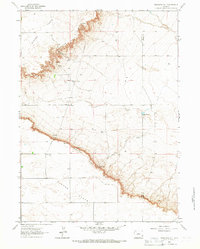
1963 · Dickinson Hill
USGS Topo · 1:24,000

1963 · C S Ranch
USGS Topo · 1:24,000

1963 · Y B O Canyon
USGS Topo · 1:24,000

1963 · Klutz Canyon
USGS Topo · 1:24,000
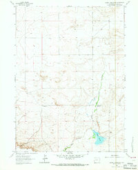
1963 · Glomill Reservoir
USGS Topo · 1:24,000