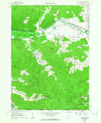
1961 Map of Knapp Creek
USGS Topo · Published 1963About this map
The Allegheny River valley forms a corridor of industry and transport in this early 1960s survey, where the Erie-Lackawanna and Pennsylvania railroads run parallel through the Allegany Indian Reservation. The landscape is defined by the heavy footprint of the Bradford Oil Field which extends across the New York and Pennsylvania state line, marked by numerous wells and service roads connecting settlements like Chipmunk and Harrisburg. Local community life is centered around institutions such as St Johns Ch in South Vandalia and the Sacred Heart Ch in the village of Knapp Creek. While the valley floor supports modern developments like a Drive-in Theater and the Birch Run Country Club, the surrounding hills are deeply carved by named hollows such as Windfall Hollow and Fivemile Hollow, reflecting a rugged topography that isolated these upland hamlets from the industrial activity along the river.
Find a feature on this map
48 named features on this map. Tap any name to fly to it.
Don’t see what you’re looking for? This feature index may not catch every label — zoom into the map to look around manually.
Map Details
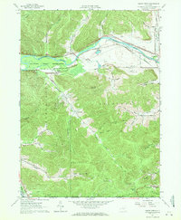
Editions of this 1961 Knapp Creek Map
2 editions found
Other maps of this area

1898 · Olean
USGS Topo · 1:62,500

1900 · Salamanca
USGS Topo · 1:62,500

1924 · Bradford
USGS Topo · 1:62,500

1926 · Bradford
USGS Topo · 1:62,500

1933 · Smethport
USGS Topo · 1:62,500

1937 · Smethport
USGS Topo · 1:62,500

1938 · Salamanca
USGS Topo · 1:62,500

1938 · Olean
USGS Topo · 1:62,500

1941 · Bradford
USGS Topo · 1:62,500

1943 · Olean
USGS Topo · 1:62,500