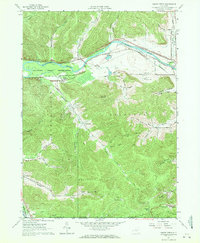
1961 Map of Knapp Creek
USGS Topo · Published 1971About this map
The Allegheny River corridor defines this landscape at the state line, where the Allegany Indian Reservation meets the industrial operations of the Bradford Oil Field. The 1961 field check captures a period of transition as infrastructure like the Erie-Lackawanna and B & O RR railroads service the valley settlements of Vandalia and South Vandalia.
Find a feature on this map
49 named features on this map. Tap any name to fly to it.
Don’t see what you’re looking for? This feature index may not catch every label — zoom into the map to look around manually.
Map Details
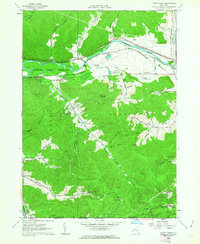
Editions of this 1961 Knapp Creek Map
2 editions found
Other maps of this area

1898 · Olean
USGS Topo · 1:62,500

1900 · Salamanca
USGS Topo · 1:62,500

1924 · Bradford
USGS Topo · 1:62,500

1926 · Bradford
USGS Topo · 1:62,500

1933 · Smethport
USGS Topo · 1:62,500

1937 · Smethport
USGS Topo · 1:62,500

1938 · Salamanca
USGS Topo · 1:62,500

1938 · Olean
USGS Topo · 1:62,500

1941 · Bradford
USGS Topo · 1:62,500

1943 · Olean
USGS Topo · 1:62,500