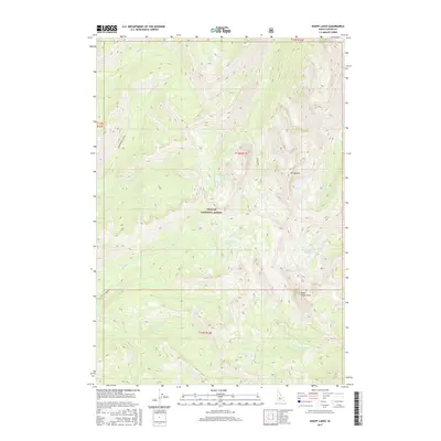
2017 Map of Knapp Lakes
USGS Topo · Published 2017About this map
The Challis National Forest dominates this high-altitude landscape in central Idaho, where alpine lakes and sharp peaks define the topography. At the heart of the quadrangle lie the namesake Knapp Lakes, feeding into Knapp Creek, while higher elevations are marked by prominent summits like Mt Loening and Cabin Creek Peak. The drainage patterns here are complex, with headwaters flowing into several different systems, including the W Fork Yankee Fork and Loon Creek.
Find a feature on this map
25 named features on this map. Tap any name to fly to it.
Don’t see what you’re looking for? This feature index may not catch every label — zoom into the map to look around manually.
Map Details
Editions of this 2017 Knapp Lakes Map
This is the sole edition of this map. No revisions or reprints were ever made.
Other maps of this area

1891 · Bear Valley
USGS Topo · 1:125,000

1893 · Bear Valley
USGS Topo · 1:125,000

1919 · Custer
USGS Topo · 1:125,000

1922 · Custer
USGS Topo · 1:125,000

1930 · Casto
USGS Topo · 1:125,000

1957 · Challis
USGS Topo · 1:250,000

1960 · Challis
USGS Topo · 1:250,000

1961 · Greyhound Ridge
USGS Topo · 1:62,500

1963 · Challis
USGS Topo · 1:250,000

1963 · Pinyon Peak
USGS Topo · 1:24,000