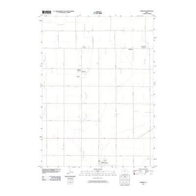
2010 Map of Knierim
USGS Topo · Published 2010About this map
Knierim and Somers serve as the primary hubs of this agricultural landscape in central Iowa during the early 21st century. The map reveals a highly structured grid of section roads, including Walcott Ave, Xavier Ave, and Baxter Ave, which organize the farmsteads and rural infrastructure. Local history is anchored by three distinct burial grounds: Trinity Cemetery, Township Cemetery, and the Calvary United Presbyterian Cemetery near the settlement of Wadleigh. These sites, along with the Knierim Post Office and Somers Post Office, represent the civic and genealogical heart of the community. Natural drainage follows the paths of East Cedar Creek and West Cedar Creek, while the Welsh Bridge provides a crossing over smaller tributaries. The presence of these specific named features offers a clear look at the enduring placement of community institutions within the Calhoun County prairie.
Find a feature on this map
31 named features on this map. Tap any name to fly to it.
Don’t see what you’re looking for? This feature index may not catch every label — zoom into the map to look around manually.
Map Details
Editions of this 2010 Knierim Map
This is the sole edition of this map. No revisions or reprints were ever made.
Other maps of this area

1954 · Fort Dodge
USGS Topo · 1:250,000

1957 · Fort Dodge
USGS Topo · 1:250,000

1958 · Fort Dodge
USGS Topo · 1:250,000

1965 · Moorland
USGS Topo · 1:24,000

1965 · Farnhamville
USGS Topo · 1:24,000

1965 · Knierim
USGS Topo · 1:24,000

1965 · Gowrie
USGS Topo · 1:24,000

1979 · Clare
USGS Topo · 1:24,000

1979 · Gilmore City SW
USGS Topo · 1:24,000

1979 · Manson
USGS Topo · 1:24,000