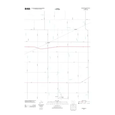
2013 Map of Knierim
USGS Topo · Published 2013About this map
Knierim and Somers anchor this agricultural landscape in Calhoun County, illustrating the enduring grid of the American Midwest. The area is defined by a complex network of waterways, including the winding Welshs Slough, E Cedar Cr, and W Cedar Cr, which eventually converge as they move through the township. The presence of Ditch Number 31 highlights the intensive drainage efforts required to manage these prairies for cultivation. Small hubs like Wadleigh and the crossing at Welsh Bridge provide localized points of interest for those studying the 21st-century footprint of these rural communities. The map also traces the southern flow of Hardin Cr, marking the lower reaches of the local watershed where it meets the rectangular road system.
Find a feature on this map
37 named features on this map. Tap any name to fly to it.
Don’t see what you’re looking for? This feature index may not catch every label — zoom into the map to look around manually.
Map Details
Editions of this 2013 Knierim Map
This is the sole edition of this map. No revisions or reprints were ever made.
Other maps of this area

1954 · Fort Dodge
USGS Topo · 1:250,000

1957 · Fort Dodge
USGS Topo · 1:250,000

1958 · Fort Dodge
USGS Topo · 1:250,000

1965 · Moorland
USGS Topo · 1:24,000

1965 · Farnhamville
USGS Topo · 1:24,000

1965 · Knierim
USGS Topo · 1:24,000

1965 · Gowrie
USGS Topo · 1:24,000

1979 · Clare
USGS Topo · 1:24,000

1979 · Gilmore City SW
USGS Topo · 1:24,000

1979 · Manson
USGS Topo · 1:24,000