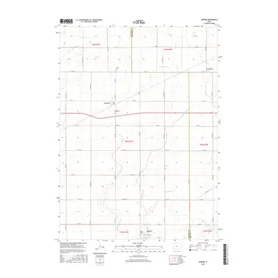
2015 Map of Knierim
USGS Topo · Published 2015About this map
Knierim and Somers anchor this agricultural landscape along the border of Calhoun and Webster Counties. The terrain is defined by a complex network of drainage features, including the meandering E Cedar Cr and W Cedar Cr, alongside managed waterways such as Ditch Number 31. For family historians, several local burial grounds provide significant research value, notably the Greenfield Township Cem and Trinity Cem near the central townships. The infrastructure reflects a long-established grid of section roads like Xenia Ave and Co Hwy D33 that connect isolated farmsteads to the rail-oriented villages. Near the northern boundary, the Calvary United Presbyterian Cem sits near Spring Cr, while the Welsh Bridge crosses a tributary further south, marking a transition in the local watershed toward Hardin Cr.
Find a feature on this map
48 named features on this map. Tap any name to fly to it.
Don’t see what you’re looking for? This feature index may not catch every label — zoom into the map to look around manually.
Map Details
Editions of this 2015 Knierim Map
This is the sole edition of this map. No revisions or reprints were ever made.
Other maps of this area

1954 · Fort Dodge
USGS Topo · 1:250,000

1957 · Fort Dodge
USGS Topo · 1:250,000

1958 · Fort Dodge
USGS Topo · 1:250,000

1965 · Moorland
USGS Topo · 1:24,000

1965 · Farnhamville
USGS Topo · 1:24,000

1965 · Knierim
USGS Topo · 1:24,000

1965 · Gowrie
USGS Topo · 1:24,000

1979 · Clare
USGS Topo · 1:24,000

1979 · Gilmore City SW
USGS Topo · 1:24,000

1979 · Manson
USGS Topo · 1:24,000