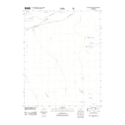
2011 Map of Knife Edge
USGS Topo · Published 2011About this map
Rio Grande waters dominate the northern reaches of this high-elevation Mineral County landscape, where the river flows between River Hill and the dramatic walls of Box Canyon. This 2011 survey details a complex system of alpine water management and drainage, with several reservoirs and their associated structures, including Wee Ruby Dam, Big Ruby Dam, and Trout Lake Dam, controlling the flow from the surrounding peaks. High-altitude terrain is defined by prominent landmarks like Chief Mountain and the sharp ridge of Knife Edge to the south. The area remains largely focused on recreation and resource management, centered around the River Hill Campground and the network of drainages such as Little Squaw Creek and Texas Creek that feed into the larger river system. Local access is primarily via Co RD 18 and forest road 520 2e, tracing the paths of ancient canyons like Sawmill Canyon and Road Canyon.
Find a feature on this map
32 named features on this map. Tap any name to fly to it.
Don’t see what you’re looking for? This feature index may not catch every label — zoom into the map to look around manually.
Map Details
Editions of this 2011 Knife Edge Map
This is the sole edition of this map. No revisions or reprints were ever made.
Other maps of this area

1905 · San Cristobal
USGS Topo · 1:125,000

1907 · San Cristobal
USGS Topo · 1:125,000

1945 · Durango
USGS Topo · 1:250,000

1953 · Durango
USGS Topo · 1:250,000

1954 · Durango
USGS Topo · 1:250,000

1959 · Bristol Head
USGS Topo · 1:62,500

1961 · Durango
USGS Topo · 1:250,000

1963 · Durango
USGS Topo · 1:250,000
1964 · Finger Mesa
USGS Topo · 1:24,000
1964 · Little Squaw Creek
USGS Topo · 1:24,000