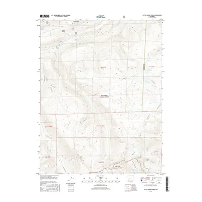
2016 Map of Knife Edge
USGS Topo · Published 2016About this map
The Continental Divide and the narrow ridge of Knife Edge define this high-altitude landscape on the boundary between the Rio Grande National Forest and San Juan National Forest. In the northern half of the quadrangle, the headwaters of the Rio Grande flow near several named canyons, including Sawmill Canyon and Box Canyon. This 2016 survey documents a network of footpaths essential for high-country navigation, such as the Continental Divide National Scenic Trail and the Fern Creek Trail. Significant water resources are clustered in the east and south, featuring high-elevation basins like Big Ruby Reservoir and Trout Lake. The map illustrates the extreme topography of the San Juan Mountains, showing the complex drainage systems of Little Squaw Creek and Texas Cr as they move through the Hinsdale and Mineral county line.
Find a feature on this map
32 named features on this map. Tap any name to fly to it.
Don’t see what you’re looking for? This feature index may not catch every label — zoom into the map to look around manually.
Map Details
Editions of this 2016 Knife Edge Map
This is the sole edition of this map. No revisions or reprints were ever made.
Other maps of this area

1905 · San Cristobal
USGS Topo · 1:125,000

1907 · San Cristobal
USGS Topo · 1:125,000

1945 · Durango
USGS Topo · 1:250,000

1953 · Durango
USGS Topo · 1:250,000

1954 · Durango
USGS Topo · 1:250,000

1959 · Bristol Head
USGS Topo · 1:62,500

1961 · Durango
USGS Topo · 1:250,000

1963 · Durango
USGS Topo · 1:250,000
1964 · Finger Mesa
USGS Topo · 1:24,000
1964 · Little Squaw Creek
USGS Topo · 1:24,000