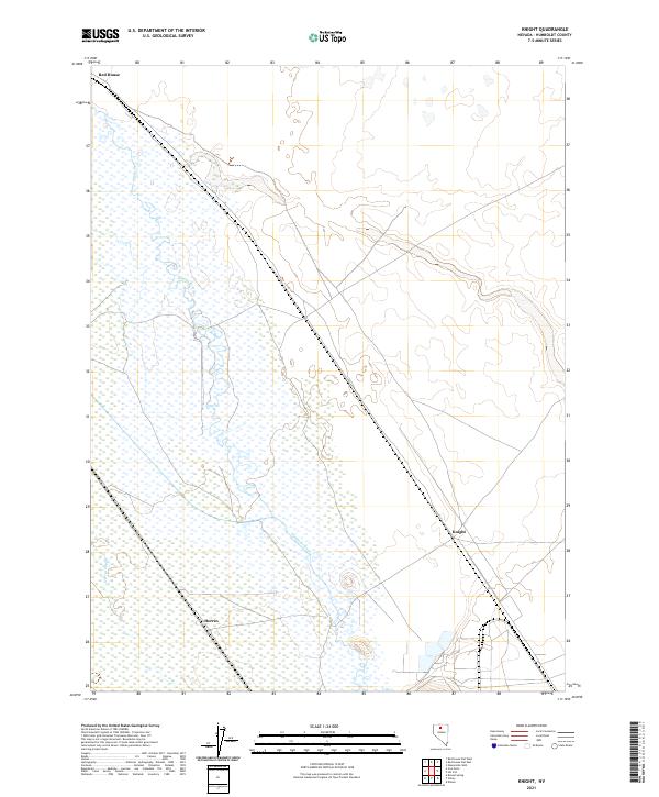
2021 Map of Knight
USGS Topo · Published 2021About this map
The Humboldt River defines the landscape of this corner of Humboldt County, winding through a series of braided channels and wetlands. The small settlements of Red House and Knight occupy critical positions along the transport corridor that follows the river's path, reflecting the historic reliance on this water source for travel and ranching in the Great Basin. To the south, Herrin sits near the namesake Herrin Slough, an area where the river's overflow creates a distinct hydrographic pattern in an otherwise arid environment. This 2021 survey illustrates how modern infrastructure continues to align with these traditional riparian routes, maintaining the same geographical footprint established by earlier pioneers and railroad surveyors.
Find a feature on this map
9 named features on this map. Tap any name to fly to it.
Don’t see what you’re looking for? This feature index may not catch every label — zoom into the map to look around manually.
Map Details
Editions of this 2021 Knight Map
This is the sole edition of this map. No revisions or reprints were ever made.
Other maps of this area

1882 · Paradise
USGS Topo · 1:250,000

1893 · Paradise
USGS Topo · 1:250,000

1932 · Sonoma Range
USGS Topo · 1:250,000

1939 · Sonoma Range
USGS Topo · 1:250,000

1945 · Osgood Mountains
USGS Topo · 1:62,500

1947 · Osgood Mountains
USGS Topo · 1:62,500

1955 · McDermitt
USGS Topo · 1:250,000

1955 · Winnemucca
USGS Topo · 1:250,000

1958 · Winnemucca
USGS Topo · 1:250,000

1959 · McDermitt
USGS Topo · 1:250,000