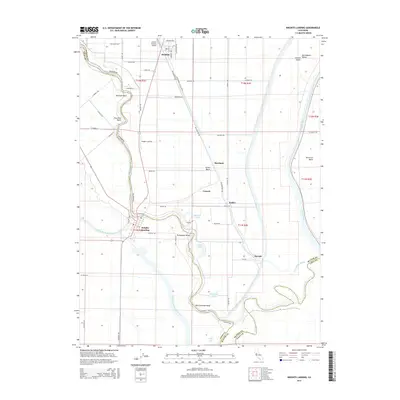
2015 Map of Knights Landing
USGS Topo · Published 2015About this map
Knights Landing and the surrounding agricultural landscape of the Central Valley are defined by the intricate management of water and fertile lowlands. The area is bounded by the winding Sacramento River to the west and the Feather River to the east, illustrating the complex hydrology of the Sutter Basin and American Basin. Extensive drainage and water control systems are evident through features like the Colusa-Basin-Drainage Canal and the Knights Landing Ridge Cut.
Find a feature on this map
59 named features on this map. Tap any name to fly to it.
Don’t see what you’re looking for? This feature index may not catch every label — zoom into the map to look around manually.
Map Details
Editions of this 2015 Knights Landing Map
This is the sole edition of this map. No revisions or reprints were ever made.
Other maps of this area
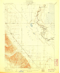
1907 · Dunnigan
USGS Topo · 1:62,500
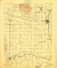
1907 · Woodland
USGS Topo · 1:62,500
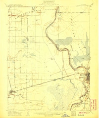
1907 · Davisville
USGS Topo · 1:62,500
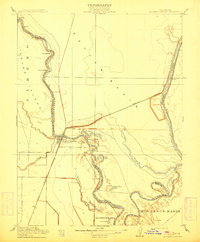
1910 · Knights Landing
USGS Topo · 1:31,680
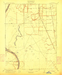
1910 · Vernon
USGS Topo · 1:31,680
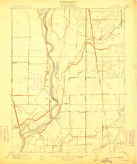
1910 · Nicolaus
USGS Topo · 1:31,680
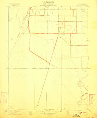
1910 · Marcuse
USGS Topo · 1:31,680
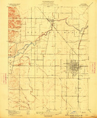
1915 · Yolo
USGS Topo · 1:31,680
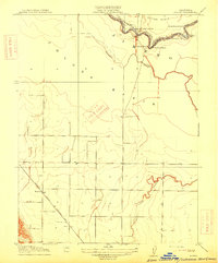
1915 · Ronda
USGS Topo · 1:31,680
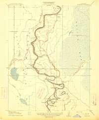
1915 · Kirkville
USGS Topo · 1:31,680