
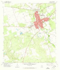
2010 Map of Knippa
USGS Topo · Published 2010About this map
Knippa serves as the primary population center in this South Texas landscape, where the flat coastal plains begin to meet the distinctive volcanic uplifts of the Balcones Escarpment. The terrain is defined by prominent igneous formations such as Black Mountain, Blue Mountain, and Big Mountain, which rise sharply above the surrounding ranching and agricultural land. A complex network of ephemeral and perennial waterways crisscrosses the area, including the Dry Frio River, the Frio River, and the Leona River, illustrating the critical role of water drainage and limestone geology in Uvalde County. Smaller features like Traprock Hill indicate the local geological diversity, while drainage patterns through Long Hollow and Elm Draw highlight the subtle shifts in elevation across the quadrangle.
Find a feature on this map
22 named features on this map. Tap any name to fly to it.
Don’t see what you’re looking for? This feature index may not catch every label — zoom into the map to look around manually.
Map Details
Editions of this 2010 Knippa Map
This is the sole edition of this map. No revisions or reprints were ever made.
Other maps of this area

1898 · Uvalde
USGS Topo · 1:125,000

1899 · Uvalde
USGS Topo · 1:125,000

1954 · San Antonio
USGS Topo · 1:250,000

1957 · San Antonio
USGS Topo · 1:250,000

1960 · Concan
USGS Topo · 1:24,000
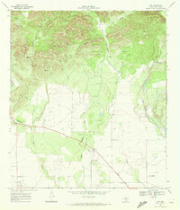
1969 · Trio
USGS Topo · 1:24,000
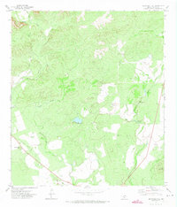
1971 · Sevenmile Hill
USGS Topo · 1:24,000
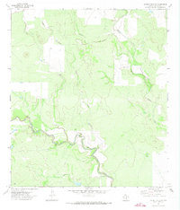
1971 · Garner Field NE
USGS Topo · 1:24,000
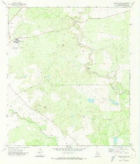
1971 · Garner Field
USGS Topo · 1:24,000
1971 · Uvalde
USGS Topo · 1:24,000