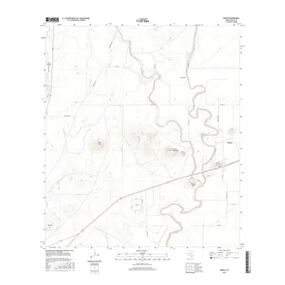
2016 Map of Knippa
USGS Topo · Published 2016About this map
Knippa serves as the primary settlement in this part of eastern Uvalde County, situated along the southern drainage routes that define the landscape. The Dry Frio River meanders prominently across the eastern half of the map, carving a wide, serpentine path through the terrain. To the west, the Leona River and the braided channels of Taylor Slough dominate the hydrology, illustrating the complex water systems that have historically supported ranching and agriculture in this semi-arid region.
Find a feature on this map
29 named features on this map. Tap any name to fly to it.
Don’t see what you’re looking for? This feature index may not catch every label — zoom into the map to look around manually.
Map Details
Editions of this 2016 Knippa Map
This is the sole edition of this map. No revisions or reprints were ever made.
Other maps of this area

1898 · Uvalde
USGS Topo · 1:125,000

1899 · Uvalde
USGS Topo · 1:125,000

1954 · San Antonio
USGS Topo · 1:250,000

1957 · San Antonio
USGS Topo · 1:250,000

1960 · Concan
USGS Topo · 1:24,000
1969 · Trio
USGS Topo · 1:24,000
1971 · Sevenmile Hill
USGS Topo · 1:24,000
1971 · Garner Field NE
USGS Topo · 1:24,000
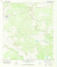
1971 · Garner Field
USGS Topo · 1:24,000
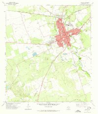
1971 · Uvalde
USGS Topo · 1:24,000